


Warragul
Town in Victoria, Australia
Warragul () is a town in Victoria, Australia, 102 kilometres (63 miles) south-east of Melbourne. Warragul lies between the Strzelecki Ranges to the south and the Mount Baw Baw Plateau of the Great Dividing Range to the north. As of the 2021 census, the town had a population of 19,856 people.
Nº Q942732 ★
Common · Places
Warragul
Town in Victoria, Australia
Warragul () is a town in Victoria, Australia, 102 kilometres (63 miles) south-east of Melbourne. Warragul lies between the Strzelecki Ranges to the south and the Mount Baw Baw Plateau of the Great Dividing Range to the north. As of the 2021 census, the town had a population of 19,856 people.
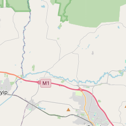
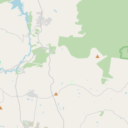
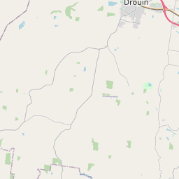
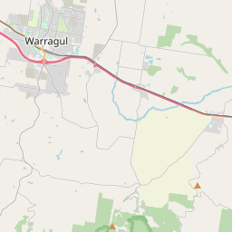
On the map
From Wikipedia
Warragul () is a town in Victoria, Australia, 102 kilometres (63 miles) south-east of Melbourne. Warragul lies between the Strzelecki Ranges to the south and the Mount Baw Baw Plateau of the Great Dividing Range to the north. As of the 2021 census, the town had a population of 19,856 people. Warragul forms part of a larger urban area that includes nearby Drouin that had an estimated total population of 42,827 as of the 2021 census. Warragul is the main population and service centre of the West Gippsland region and the Shire of Baw Baw. The surrounding area is noted for dairy farming and other niche agriculture and has long been producing gourmet foods.
Text: Wikipédia, CC BY-SA 4.0. · Image: Ajw0 at English Wikipedia (CC BY-SA 3.0) ·
Related cards
-

Warburton, Victoria
Town in Victoria, Australia
Nº Q914214 ★
Not listed
-

Yarrawonga
Town in Victoria, Australia
Nº Q3571892 ★
Not listed
-

Warracknabeal
Town in Victoria, Australia
Nº Q2288705 ★★
Not listed
-
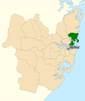
Division of Warringah
Australian federal electoral division
Nº Q1074025 ★
Not listed
-

Wangaratta
City in Victoria, Australia
Nº Q1024728 ★★
Not listed
-

Melbourne
Capital city of Victoria, Australia
Nº Q3141 ★★★★★
Not listed