
West Virginia
State of the United States of America
West Virginia is a mountainous, landlocked state in the Southern and Mid-Atlantic regions of the United States. It is bordered by Pennsylvania and Maryland to the northeast, Virginia to the southeast, Kentucky to the southwest, and Ohio to the northwest.
Nº Q1371 ★★★★
Super Rare · Places
West Virginia
State of the United States of America
West Virginia is a mountainous, landlocked state in the Southern and Mid-Atlantic regions of the United States. It is bordered by Pennsylvania and Maryland to the northeast, Virginia to the southeast, Kentucky to the southwest, and Ohio to the northwest.
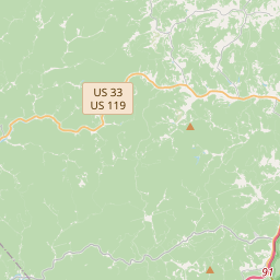
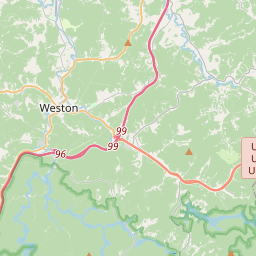
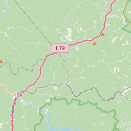
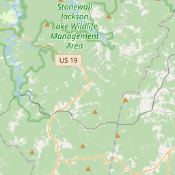
On the map
Last price
—
Floor price
—
7-day median
—
30-day sales
0
30-day range
—
In circulation
0
Price history
median
low – high
sales
No sales in this period
Show table
| Date | median | Low | High | sales |
|---|
Sales history
- Last sale
- —
- 30-day average
- —
- 30-day low
- —
- 30-day high
- —
- Sales 7d
- 0
- Sales 30d
- 0
No sales yet.
Anonymous sales: no buyer or seller shown. Figures count player-to-player sales only.
From Wikipedia
West Virginia is a mountainous, landlocked state in the Southern and Mid-Atlantic regions of the United States. It is bordered by Pennsylvania and Maryland to the northeast, Virginia to the southeast, Kentucky to the southwest, and Ohio to the northwest. West Virginia is the 10th-smallest state by area and ranks as the 12th-least populous state, with 1,778,373 residents. The capital and most populous city is Charleston, with 49,055 residents. West Virginia is dominated by mountainous terrain, shaped by the Allegheny and Cumberland ranges and cut by the Ohio, Kanawha, and Potomac river valleys. This geography isolated the region from the rest of Virginia. When Virginia seceded from the Union in 1861, some of its western counties refused to follow while others supported it; the resulting split led to West Virginia's admission into the Union on June 20, 1863, as a slave state and a key border state during the American Civil War. It was one of two states admitted during the war, along with Nevada, and the only state formed by separating from a Confederate state. Railroad expansion later opened the state's southern and northern coalfields to large-scale development, and by the early 20th century West Virginia had become one of the nation's leading coal producers. West Virginia's northern panhandle sits between Pennsylvania and Ohio, forming a tri-state area; Wheeling, Weirton, and Morgantown lie just across the border from the Pittsburgh metropolitan area. Huntington, in the southwest, is close to Ohio and Kentucky, while Martinsburg and Harpers Ferry, in the eastern panhandle between Maryland and Virginia, are considered part of the Washington metropolitan area. West Virginia is often included in several U.S. geographical regions, including the Mid-Atlantic, the Upland South, and the Southeastern United States. It is the only state entirely within the area served by the Appalachian Regional Commission,...
Text: Wikipédia, CC BY-SA 4.0. · Image: Militaryace, Denelson83 (Public domain) ·
Related cards

Virginia
State of the United States of America
Nº Q1370 ★★★★★

Maryland
State of the United States of America
Nº Q1391 ★★★★★

Nevada
State of the United States of America
Nº Q1227 ★★★★

Pennsylvania
State of the United States of America
Nº Q1400 ★★★★★

Vermont
State of the United States of America
Nº Q16551 ★★★★
Charleston, West Virginia
Capital city of the U.S. state of West Virginia and seat of Kanawha County
Nº Q44564 ★★★