

Common · Places
Whaley Bridge
Town and civil parish in Derbyshire, England
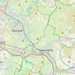
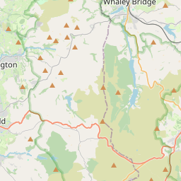
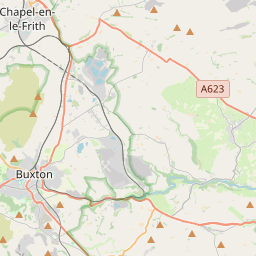
Whaley Bridge () is a town and civil parish in the High Peak district of Derbyshire, England. It is situated on the River Goyt, 16 miles (26 km) south-east of Manchester, 7 miles (11 km) north of Buxton, 9 miles (14 km) north-east of Macclesfield and 28 miles (45 km) west of Sheffield.
On the map
From Wikipedia
Whaley Bridge () is a town and civil parish in the High Peak district of Derbyshire, England. It is situated on the River Goyt, 16 miles (26 km) south-east of Manchester, 7 miles (11 km) north of Buxton, 9 miles (14 km) north-east of Macclesfield and 28 miles (45 km) west of Sheffield. The parish includes Furness Vale, Horwich End, Bridgemont, Fernilee, Stoneheads and Taxal; the parish had a population of 6,311 at the 2021 census. Whaley Bridge historically straddled Derbyshire and Cheshire until boundary changes in 1936 placed it entirely in Derbyshire.
Text: Wikipédia, CC BY-SA 4.0. · Image: Dave.Dunford (CC BY-SA 3.0) ·
Related cards
-
 ★
★
New Mills
Town and civil parish in Derbyshire, England
-
 ★
★
Edale
Village and civil parish in High Peak, Derbyshire, England
-
 ★
★
Hadfield, Derbyshire
Town in Derbyshire, England
-
 ★
★
High Peak, Derbyshire
Borough in Derbyshire, England, UK
-
 ★
★
Peak Rail
Heritage railway company
-
 ★★
★★
Glossop
Town and unparished area in High Peak district of Derbyshire, England