

Uncommon · Places
Willemspark
Quarter in The Hague
The Willemspark (Dutch pronunciation: [ˈʋɪləmsˌpɑr(ə)k]; lit. 'William's Park') is a neighbourhood in the Centrum district of The Hague, Netherlands. It has 1,393 inhabitants (as of 1 January 2013) and covers an area of 34.6 hectares (0.134 sq mi).
On the map
From Wikipedia
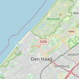
The Willemspark (Dutch pronunciation: [ˈʋɪləmsˌpɑr(ə)k]; lit. 'William's Park') is a neighbourhood in the Centrum district of The Hague, Netherlands. It has 1,393 inhabitants (as of 1 January 2013) and covers an area of 34.6 hectares (0.134 sq mi). It is bordered by the Zeestraat to the south-east, the Scheveningseveer, the Mauritskade and the Dr. Kuyperstraat to the south-east, the Prinsessegracht to the north-east and the Javastraat to the north-west. The park was originally property of king William II, but he sold the area to the municipality of The Hague in 1855, after which it became a villa park. Iconic to the neighbourhood are the Alexanderstraat and the Sophialaan, two historic streets in Willemspark, that intersect on Plein 1813. This square is marked by a monument commemorating the defeat of Napoleon and the establishment of the Sovereign Principality of the United Netherlands. 52°05′13″N 4°18′27″E / 52.0869°N 4.3075°E / 52.0869; 4.3075
Text: Wikipédia, CC BY-SA 4.0. · Image: Michiel1972, The copyright holder of this file, Centraal Bur... (CC BY-SA 3.0) ·