
Wiltshire
Ceremonial county of England (use Q21694746 for administrative unitary authority)
Wiltshire (; abbreviated to Wilts) is a ceremonial county in South West England. It borders Gloucestershire to the north, Oxfordshire to the north-east, Berkshire to the east, Hampshire to the south-east, Dorset to the south, and Somerset to the west. The largest settlement is Swindon.
Nº Q23183 ★★★
Rare · Places
Wiltshire
Ceremonial county of England (use Q21694746 for administrative unitary authority)
Wiltshire (; abbreviated to Wilts) is a ceremonial county in South West England. It borders Gloucestershire to the north, Oxfordshire to the north-east, Berkshire to the east, Hampshire to the south-east, Dorset to the south, and Somerset to the west. The largest settlement is Swindon.
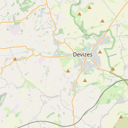
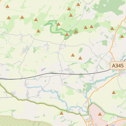
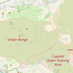
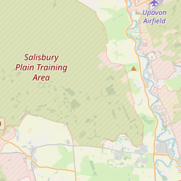
On the map
Last price
—
Floor price
—
7-day median
—
30-day sales
0
30-day range
—
In circulation
0
Price history
median
low – high
sales
No sales in this period
Show table
| Date | median | Low | High | sales |
|---|
Sales history
- Last sale
- —
- 30-day average
- —
- 30-day low
- —
- 30-day high
- —
- Sales 7d
- 0
- Sales 30d
- 0
No sales yet.
Anonymous sales: no buyer or seller shown. Figures count player-to-player sales only.
From Wikipedia
Wiltshire (; abbreviated to Wilts) is a ceremonial county in South West England. It borders Gloucestershire to the north, Oxfordshire to the north-east, Berkshire to the east, Hampshire to the south-east, Dorset to the south, and Somerset to the west. The largest settlement is Swindon. The county has an area of 3,485 km2 (1,346 sq mi) and had an estimated population of 767,575 in 2024. The county is mostly rural, and the centre and south-west are sparsely populated. Swindon is in the north-east of the county, and its other major settlements include the city of Salisbury in the south-east and the towns of Trowbridge and Chippenham in the west. For local government purposes, the county comprises two unitary authority areas, Swindon and Wiltshire. The north-west of Wiltshire is part of the limestone Cotswolds, and the remainder of the county is characterised by chalk downlands. The Marlborough Downs lie in the north-east of the county and encompass Savernake Forest. To their south is the Vale of Pewsey, south of which, in the centre of the county, is Salisbury Plain. The south-west contains the West Wiltshire Downs, to the south of which is the Vale of Wardour, and the far south comprises part of Cranborne Chase. The south-east contains part of the New Forest. The county's two major rivers are both called the Avon. The northern Avon enters the county in the north-west and flows south-westward before exiting near Bradford-on-Avon, its vale separating the Cotswolds from the rest of the county. The southern Avon rises on Salisbury Plain and flows south through Salisbury, then into Hampshire. Much of the county is protected: the Marlborough Downs, West Wiltshire Downs, Vale of Wardour, Cranborne Chase, and the Cotswolds are each part of national landscapes, and the New Forest is a national park. Salisbury Plain...
Text: Wikipédia, CC BY-SA 4.0. · Image: Sw8 at English Wikipedia (CC BY-SA 3.0) ·
Related cards

Swindon
Town in Wiltshire, England, United Kingdom
Nº Q200942 ★★★

Gloucestershire
Ceremonial county in England (use Q21694733 for administrative non-metropolitan county)
Nº Q23165 ★★★

Berkshire
Ceremonial and non-metropolitan but non-administrative county of England
Nº Q23220 ★★★

Hampshire
Ceremonial county of England
Nº Q23204 ★★★★

Oxfordshire
County in England, UK
Nº Q23169 ★★★

Nottinghamshire
Ceremonial county of England
Nº Q23092 ★★★