

Common · Places
Wroxeter
Village in Shropshire, England, UK
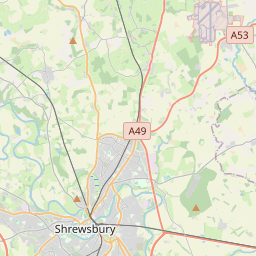
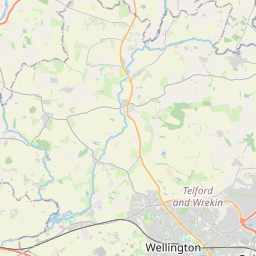
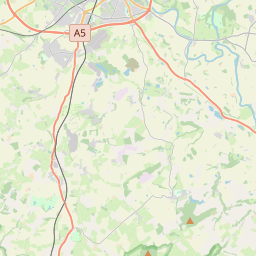
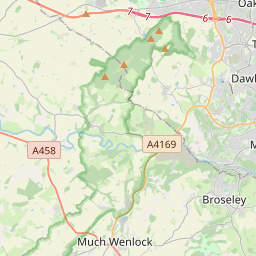
Wroxeter ( ROK-sit-ər) is a village and former civil parish, now in the parish of Wroxeter and Uppington, in the Shropshire district, in the ceremonial county of Shropshire, England. It is beside the River Severn, 5 miles (8.0 km) east-south-east of Shrewsbury. In 1961 the parish had a population of 657.
Read more
Wroxeter (/ˈrɒksɪtər/ ROK-sit-ər) is a village and former civil parish, now in the parish of Wroxeter and Uppington, in the Shropshire district, in the ceremonial county of Shropshire, England. It is beside the River Severn, 5 miles (8.0 km) east-south-east of Shrewsbury. In 1961 the parish had a population of 657. Viroconium Cornoviorum, the fourth largest city in Roman Britain, was sited here, and is gradually being excavated. In 2024, archaeologists uncovered a 2,000-year-old mosaic depicting dolphins and fish. The village contains one of Shropshire's commercial vineyards. Roman Wroxeter, near the end of the Watling Street Roman road that ran across Romanised Celtic Britain from Dubris (Dover), was a key frontier position lying on the bank of the River Severn whose valley penetrated deep into what later became known as Wales, and also on a route south leading to the Wye valley. Archaeology has shown that the site of the later city first was established about AD 55 as a frontier post for a Thracian legionary cohort located at a fort near the Severn river crossing. A few years later a legionary fortress (castrum) was built within the site of the later city for the Legio XIV Gemina during their invasion of Wales. The local British tribe of the Cornovii had their original capital (also thought to have been named *Uiroconion) at the hillfort on the Wrekin.
On the map
Text: Wikipédia, CC BY-SA 4.0. · Image: David and Rachel Landin (CC BY-SA 2.0) ·