

Common · Places
Wye Valley
National Landscape and Site of Special Scientific Interest in Wales and England
The Wye Valley (Welsh: Dyffryn Gwy) is a valley in Wales and England. The River Wye (Welsh: Afon Gwy) is the fourth-longest river in the United Kingdom.
Read more
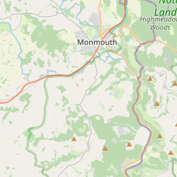
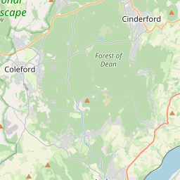
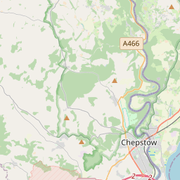
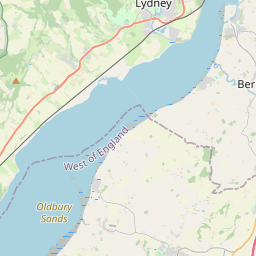
The upper part of the valley is in the Cambrian Mountains and is enclosed by hills as it descends through Rhayader, Builth Wells and Hay-on-Wye before reaching the England-Wales border and becoming a broader vale through Hereford. The lower part of the valley meanders past Ross-on-Wye and Monmouth, where it becomes the England-Wales border, before reaching the Severn Estuary at Chepstow. Much of this section features limestone gorge scenery and dense native woodlands, which made the Wye Valley historically important as one of the birthplaces of the modern tourism industry. The lower part of the valley is designated as the Wye Valley National Landscape, an Area of Outstanding Natural Beauty, protected as an internationally important landscape. This designation covers 326 square kilometres (126 mi) surrounding a 72-kilometre (45 mi) stretch of the river, from just south of Hereford to Chepstow in the counties of Gloucestershire, Herefordshire and Monmouthshire. In addition to its landscape value, the area is recognised for its wildlife and archaeological and industrial remains. The varied landscapes of the Wye Valley can be explained by underlying rocks and structures, and how ice and then the river and tributary streams have acted upon them through time. Close to Hereford, the geology of the area around the village of Woolhope is largely made up of Silurian limestones, shales and sandstones.
On the map
1 copy in circulation
Text: Wikipédia, CC BY-SA 4.0. · Image: Manfred Heyde (CC BY-SA 3.0) ·