

Common · Places
Yangon Region
Administrative region of Myanmar
Yangon Region (Burmese: ရန်ကုန်တိုင်းဒေသကြီး, MLCTS: rankun tuing desa. kri:, pronounced [jàɰ̃ɡòʊɰ̃ táɪɰ̃ dèθa̰ dʑí]; formerly Rangoon Division and Yangon Division) is an administrative region of Myanmar. Located in lower Myanmar, the region is bordered by Bago Region to the north and east, the Gulf of Martaban to the south, and Ayeyarwady Region to the west.
On the map
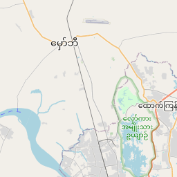
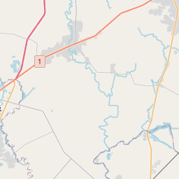
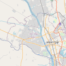
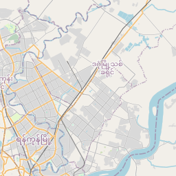
From Wikipedia
Yangon Region (Burmese: ရန်ကုန်တိုင်းဒေသကြီး, MLCTS: rankun tuing desa. kri:, pronounced [jàɰ̃ɡòʊɰ̃ táɪɰ̃ dèθa̰ dʑí]; formerly Rangoon Division and Yangon Division) is an administrative region of Myanmar. Located in lower Myanmar, the region is bordered by Bago Region to the north and east, the Gulf of Martaban to the south, and Ayeyarwady Region to the west. Yangon Region is dominated by its capital city of Yangon, the former national capital and the largest city in the country. Other important cities are Thanlyin and Twante. The division is the most developed region of the country and the main international gateway. The division measures 10,170 km (3,930 sq mi). The region was historically populated by the Mon. Politically, the area was controlled by Mon kingdoms prior to 1057, and after 1057, with few exceptions, by Burman kingdoms from the north. The control of the region reverted to Pegu-based Mon kingdoms in the 13th to 16th centuries (1287–1539) and briefly in the 18th century (1740–57). The Portuguese were in control of Thanlyin (Syriam) and the surrounding area from 1599 to 1613.
Text: Wikipédia, CC BY-SA 4.0. · Image: TUBS (CC BY-SA 3.0) ·