
Zacatelco
Municipal seat of Zacatelco, State of Tlaxcala, Mexico
Zacatelco (Spanish pronunciation: [sakaˈtelko] ) is a city and municipal seat of the Zacatelco municipality located in the south of the Mexican state of Tlaxcala. According to a 2010 population census conducted by the National Institute of Statistics and Geography, the city has a population of 38,466 people; it is the sixth most populous city in the state and is part of the Metropolitan area of Puebla.
Nº Q2879423 ★★
Uncommon · Places
Zacatelco
Municipal seat of Zacatelco, State of Tlaxcala, Mexico
Zacatelco (Spanish pronunciation: [sakaˈtelko] ) is a city and municipal seat of the Zacatelco municipality located in the south of the Mexican state of Tlaxcala. According to a 2010 population census conducted by the National Institute of Statistics and Geography, the city has a population of 38,466 people; it is the sixth most populous city in the state and is part of the Metropolitan area of Puebla.
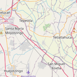
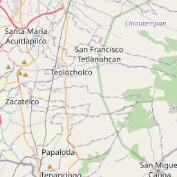
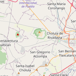
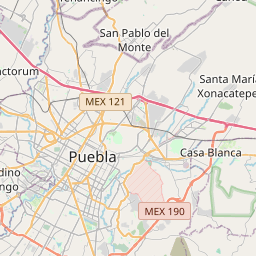
On the map
Last price
—
Floor price
—
7-day median
—
30-day sales
0
30-day range
—
In circulation
0
Price history
median
low – high
sales
No sales in this period
Show table
| Date | median | Low | High | sales |
|---|
Sales history
- Last sale
- —
- 30-day average
- —
- 30-day low
- —
- 30-day high
- —
- Sales 7d
- 0
- Sales 30d
- 0
No sales yet.
Anonymous sales: no buyer or seller shown. Figures count player-to-player sales only.
From Wikipedia
Zacatelco (Spanish pronunciation: [sakaˈtelko] ) is a city and municipal seat of the Zacatelco municipality located in the south of the Mexican state of Tlaxcala. According to a 2010 population census conducted by the National Institute of Statistics and Geography, the city has a population of 38,466 people; it is the sixth most populous city in the state and is part of the Metropolitan area of Puebla. The city is also head of the third electoral district of Tlaxcala. The city was founded on December 1, 1529 by Agustín de Castañeda. The Zacateco Republic was founded in 1723; this was achieved by joining the towns of San Juan, San Lorenzo, Santo Toribio, Santa Catarina, San Marcos and San Antonio, which was depended on Tepeyanco. The most important historical figures of the city were the Arenas brothers, which were prominent revolutionaries. Domingo Arenas took the first land committee of Mexico in 1915 and was one reason for coining the phrase: "Zacatelco; the heart of the south." Zacatelco is located in the southern part of the valley of Tlaxcala, on the border with the state of Puebla. The city is at an altitude of 2,210 meters above sea level, making it one of the highest cities in Mexico. It is located 11.9 km from the state capital, 27.1 km from the city of Puebla, and 121.8 km from Mexico City.
Text: Wikipédia, CC BY-SA 4.0. · Image: MParedes (CC BY-SA 4.0) ·
Related cards

Zacapoaxtla
Municipal seat of Zacapoaxtla, State of Puebla, Mexico
Nº Q17104877 ★★★

Tlaxco
Municipal seat of Tlaxco, State of Tlaxcala, Mexico
Nº Q19824930 ★★★

Tlaxcala (city)
Capital of the Mexican state of Tlaxcala
Nº Q689987 ★★★

Tlaxcala Municipality
Municipality in the State of Tlaxcala, Mexico
Nº Q6147713 ★★

Cacaxtla
Archeological zone in Tlaxcala, Mexico
Nº Q1024995 ★★★

Tlaxcala
State of Mexico
Nº Q82681 ★★★★