
Zamfara State
A northern state in Nigeria
Zamfara (Hausa: Jihar Zamfara; Fula: Leydi Zamfara; Adlam: 𞤤𞤫𞤴𞤣𞤭 𞤶𞤢𞤥𞤬𞤢𞤪𞤢) is a state in northwestern Nigeria. The capital of Zamfara state is Gusau and its current governor is Dauda Lawal. The state is named after the Zamfara River which flows through the state.
Nº Q145793 ★★
Uncommon · Places
Zamfara State
A northern state in Nigeria
Zamfara (Hausa: Jihar Zamfara; Fula: Leydi Zamfara; Adlam: 𞤤𞤫𞤴𞤣𞤭 𞤶𞤢𞤥𞤬𞤢𞤪𞤢) is a state in northwestern Nigeria. The capital of Zamfara state is Gusau and its current governor is Dauda Lawal. The state is named after the Zamfara River which flows through the state.
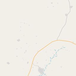
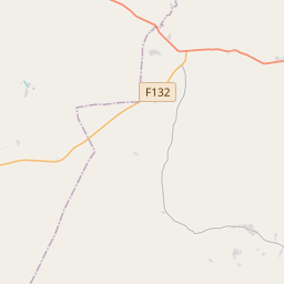
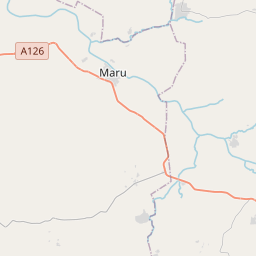
On the map
Last price
—
Floor price
—
7-day median
—
30-day sales
0
30-day range
—
In circulation
0
Price history
median
low – high
sales
No sales in this period
Show table
| Date | median | Low | High | sales |
|---|
Sales history
- Last sale
- —
- 30-day average
- —
- 30-day low
- —
- 30-day high
- —
- Sales 7d
- 0
- Sales 30d
- 0
No sales yet.
Anonymous sales: no buyer or seller shown. Figures count player-to-player sales only.
From Wikipedia
Zamfara (Hausa: Jihar Zamfara; Fula: Leydi Zamfara; Adlam: 𞤤𞤫𞤴𞤣𞤭 𞤶𞤢𞤥𞤬𞤢𞤪𞤢) is a state in northwestern Nigeria. The capital of Zamfara state is Gusau and its current governor is Dauda Lawal. The state is named after the Zamfara River which flows through the state. Until 1996, the area was part of Sokoto State. Zamfara is a densely populated area with the Hausa. The Zamfarawa, a section of the Hausa ethnic nationality, cluster mainly in Anka, Gummi, Bukkuyum and Talata Mafara Local Governments areas. The Gobirawa, another Hausa sub-group, populate Shinkafi Local Government. The Gobirawa actually migrated from the Gobir Kingdom. The Burmawa sub-group are found in Bakura, while the Fulani are scattered all over the State, with significant concentrations in Bungudu, Maradun, and Gusau. Hausa sub-groups in Chafe, Bungudu and Maru, are mainly Katsinawa, Garewatawa and Hadejawa, while the Alibawa are located at Kaura Namoda and Zurmi. The Alawan Shehu Usmanu Fulani's are found in Birninmagaji. It is bordered to the north by the Republic of the Niger for 32 km (20 miles), to the south by Kaduna State for 117 km (73 miles) and Niger for 38 km (24 miles), to the east by Katsina State, and to the west by the states of Sokoto and Kebbi. It has a population of 3,278,873 according to the 2006 census and contains fourteen local government areas.
Text: Wikipédia, CC BY-SA 4.0. · Image: CDC Global (CC BY 2.0) ·


