

Uncommon · Places
Zibqin
Human settlement in Lebanon
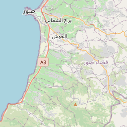
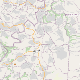
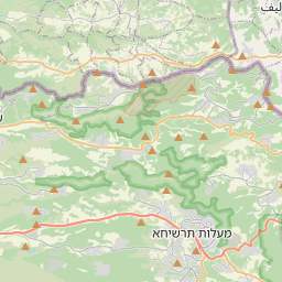
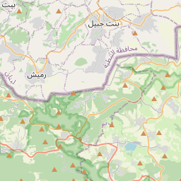
Zibqin (Arabic: زبقين, romanized: Zibqīn) is a municipality in South Lebanon, 103 kilometres (64 mi) from the capital, Beirut, 4 km from the border with Israel and 450 metres (1,476.4 ft) above sea level. It was heavily damaged in the 2006 Lebanon-Israel war and underwent a heavy process of rebuilding.
On the map
From Wikipedia
Zibqin (Arabic: زبقين, romanized: Zibqīn) is a municipality in South Lebanon, 103 kilometres (64 mi) from the capital, Beirut, 4 km from the border with Israel and 450 metres (1,476.4 ft) above sea level. It was heavily damaged in the 2006 Lebanon-Israel war and underwent a heavy process of rebuilding. According to E. H. Palmer, the name probably comes from the Arabic word for "to bind", or "confine". In 1596, it was named as a village, Zibqin, in the Ottoman nahiya (subdistrict) of Tibnin under the liwa' (district) of Safad, with a population of 12 households and 12 bachelor, all Muslim. The villagers paid a fixed tax rate of 25% on agricultural products, such as wheat, barley, olive trees, goats and beehives, in addition to "occasional revenues" and winter pastures; a total of 3,172 akçe. In 1875, Victor Guérin found the village to contain eighty Metawileh. He further "observed a great pool, constructed with regularly cut stones, and several broken columns. On the chapter of one he saw a mosaic representing a cross fleuronnée, which proves that it came from a church." In 1881, the PEF's Survey of Western Palestine (SWP) described it: "Small ruined village on a hill, surrounded by brushwood; contains about thirty Moslems [..], and has olives and arable land to the south. The water is supplied by cisterns."
Text: Wikipédia, CC BY-SA 4.0. · Image: P.mielen at Dutch Wikipedia (CC BY-SA 3.0) ·