

Common · Places
Zullwil
Municipality in Switzerland
Zullwil is a municipality in the district of Thierstein in the canton of Solothurn in Switzerland.
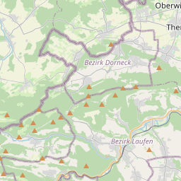
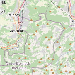
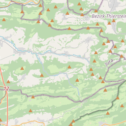
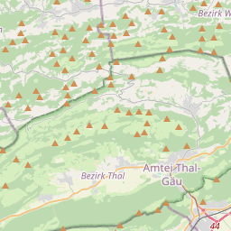
On the map
From Wikipedia
Zullwil is a municipality in the district of Thierstein in the canton of Solothurn in Switzerland. Zullwil has an area, as of 2009, of 3.64 square kilometers (1.41 sq mi). Of this area, 1.6 km (0.62 sq mi) or 44.0% is used for agricultural purposes, while 1.67 km (0.64 sq mi) or 45.9% is forested. Of the rest of the land, 0.35 km (0.14 sq mi) or 9.6% is settled (buildings or roads), 0.01 km (2.5 acres) or 0.3% is either rivers or lakes. Of the built up area, housing and buildings made up 6.6% and transportation infrastructure made up 1.6%. Out of the forested land, 43.4% of the total land area is heavily forested and 2.5% is covered with orchards or small clusters of trees. Of the agricultural land, 3.3% is used for growing crops and 31.3% is pastures, while 4.9% is used for orchards or vine crops and 4.4% is used for alpine pastures. All the water in the municipality is flowing water. The blazon of the municipal coat of arms is Quarterly Sable and Argent two Staffs fleury counterchanged in saltire. Zullwil has a population (as of December 2020) of 657.
Text: Wikipédia, CC BY-SA 4.0. · Image: Paebi (CC BY-SA 3.0) ·