Al-Hamraa
Village in Syria
Al-Hamraa (Arabic: الحمراء, also spelled al-Hamra) is a village in northwestern Syria, administratively part of the Hama Governorate, located northeast of Hama. Nearby localities include Jubb al-Othman to the northeast, Abu al-Thuhur to the north, Fan al-Shamali to the west, Maar Shahhur to the southwest, Salamiyah to the south and Sabburah to the southeast.
Nº Q4702464 ★★
Poco común · Lugares
Al-Hamraa
Village in Syria
Al-Hamraa (Arabic: الحمراء, also spelled al-Hamra) is a village in northwestern Syria, administratively part of the Hama Governorate, located northeast of Hama. Nearby localities include Jubb al-Othman to the northeast, Abu al-Thuhur to the north, Fan al-Shamali to the west, Maar Shahhur to the southwest, Salamiyah to the south and Sabburah to the southeast.
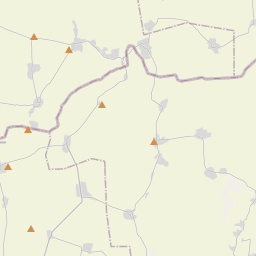
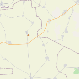
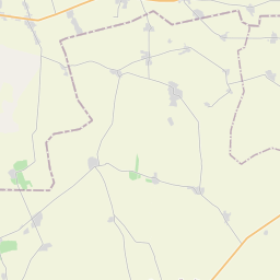
En el mapa

Último precio
—
Precio mínimo
—
Mediana 7 d
—
Ventas 30 d
0
Rango 30 d
—
En circulación
0
Cotización
mediana
mín – máx
ventas
Sin ventas en el periodo
Ver tabla
| Fecha | mediana | Mín | Máx | ventas |
|---|
Historial de ventas
- Última venta
- —
- Media 30 d
- —
- Mínimo 30 d
- —
- Máximo 30 d
- —
- Ventas 7 d
- 0
- Ventas 30 d
- 0
Aún no hay ventas.
Ventas anónimas: sin comprador ni vendedor. Las cifras solo cuentan ventas entre jugadores.
En Wikipedia
Texto en inglés Aún no hay artículo en tu idioma: extracto en inglés.
Al-Hamraa (Arabic: الحمراء, also spelled al-Hamra) is a village in northwestern Syria, administratively part of the Hama Governorate, located northeast of Hama. Nearby localities include Jubb al-Othman to the northeast, Abu al-Thuhur to the north, Fan al-Shamali to the west, Maar Shahhur to the southwest, Salamiyah to the south and Sabburah to the southeast. According to the Syria Central Bureau of Statistics (CBS), al-Hamraa had a population of 1,783 in the 2004 census. It is the administrative centre and second-largest locality of the al-Hamraa nahiyah ("subdistrict"), which consisted of 44 localities with a collective population of 32,604 in 2004. In 1838 al-Hamraa was classified as a khirba ("temporal village") in the District of Salamiyah. It is situated near the Qasr ibn Wardan palace.
Texto: Wikipedia en inglés, CC BY-SA 4.0. ·


