

Poco común · Lugares
Beit Iba
Municipality in Nablus, West Bank, Palestine
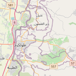
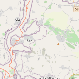
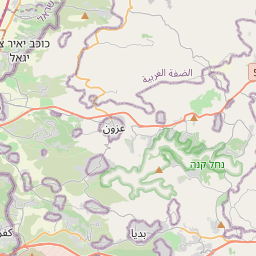
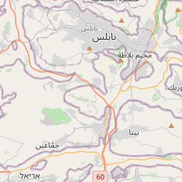
Beit Iba (Arabic: بيت إيبا) is a Palestinian village in the Nablus Governorate in the North central West Bank, located 7 kilometers northwest of Nablus. According to the Palestinian Central Bureau of Statistics (PCBS), the village had a population of 4,079 inhabitants in 2017.
En el mapa
En Wikipedia
Texto en inglés Aún no hay artículo en tu idioma: extracto en inglés.
Beit Iba (Arabic: بيت إيبا) is a Palestinian village in the Nablus Governorate in the North central West Bank, located 7 kilometers northwest of Nablus. According to the Palestinian Central Bureau of Statistics (PCBS), the village had a population of 4,079 inhabitants in 2017. Beit Iba is located 5.13 kilometers (3.19 mi) west of Nablus. It is bordered by Nablus and Beit Wazan to the east, An-Naqura and Zawata to the north, Deir Sharaf and Qusin to the west, and Sarra and Beit Wazan to the south. Ceramics from the Byzantine era have been found here. In 1517, the village was incorporated into the Ottoman Empire with the rest of Palestine, and in 1596, Beit Iba appeared in Ottoman tax registers as being in nahiya (subdistrict) of Jabal Qubal under the liwa' (district) of Nablus. It had a population of 20 households, all Muslims. They paid a fixed tax rate of 33,3% on wheat, barley, summer crops, olive trees, goats and/or beehives, in addition to occasional revenues and a tax on people in the Nablus district; a total of 9,000 akçe. Half to the revenue went to a Waqf. In 1838, in the Biblical Researches in Palestine, Beit Iba was located in the District of Jurat 'Amra, south of Nablus.
Texto: Wikipedia en inglés, CC BY-SA 4.0. · Imagen: יעקב (CC BY-SA 4.0) ·