Bhilangna River
River in India
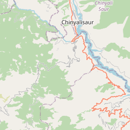
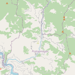
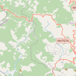
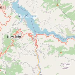
Bhilangna River is a Himalayan river in Uttarakhand, India, which is the major tributary of the Bhagirathi river, the source stream of the Ganges River of India. Bhilangana is a combination of Bhil and Ganga.
Nº Q1006420 ★★
Poco común · Lugares
Bhilangna River
River in India
Bhilangna River is a Himalayan river in Uttarakhand, India, which is the major tributary of the Bhagirathi river, the source stream of the Ganges River of India. Bhilangana is a combination of Bhil and Ganga.
En el mapa


Último precio
—
Precio mínimo
—
Mediana 7 d
—
Ventas 30 d
0
Rango 30 d
—
En circulación
0
Cotización
mediana
mín – máx
ventas
Sin ventas en el periodo
Ver tabla
| Fecha | mediana | Mín | Máx | ventas |
|---|
Historial de ventas
- Última venta
- —
- Media 30 d
- —
- Mínimo 30 d
- —
- Máximo 30 d
- —
- Ventas 7 d
- 0
- Ventas 30 d
- 0
Aún no hay ventas.
Ventas anónimas: sin comprador ni vendedor. Las cifras solo cuentan ventas entre jugadores.
En Wikipedia
Texto en inglés Aún no hay artículo en tu idioma: extracto en inglés.
Bhilangna River is a Himalayan river in Uttarakhand, India, which is the major tributary of the Bhagirathi river, the source stream of the Ganges River of India. Bhilangana is a combination of Bhil and Ganga. The mainstem, Bhilangna, rises at the foot of the Khatling Glacier (elevation 3,717 m (12,195 ft)) approximately 50 km (31 mi) south of the ice cave at Gaumukh, traditionally considered the source of both the Bhagirathi and the Ganges and flows into the Bhagirathi at Old Tehri, the site of the Tehri dam. It meets its major tributary the Bal Ganga at Ghansali (elevation 976 m (3,202 ft)). The Bal Ganga, whose headwaters are formed at the foot of Mount Kukhli Dhar (elevation 4,600 m (15,100 ft)), itself has a minor tributary, the Dharam Ganga, which meets it at Thati Kathur (also Budha Kedar) at elevation 1,524 m (5,000 ft). The Khatling trek route passes alongside the Bhilangna, starting from the last point accessible by road, Ghuttu, until the glacier, which stands at 3700 metres. If one were to go further on the trail past the glacier, one could reach Kedarnath.
Texto: Wikipedia en inglés, CC BY-SA 4.0. ·


