
Bray
Watershed in Normandy
The Pays de Bray (French pronunciation: [pe.i də bʁɛ], literally Land of Bray) is a small (about 750 km2) natural region of France situated to the north-east of Rouen, straddling the French departments of the Seine-Maritime and the Oise (historically divided among the Provinces of Normandy and Picardy since 911, now divided among the administrative regions of Normandy and Picardy). The landscape is of bocage, a land use which arises from its clay soil, and is suited to the development of pasture for the raising of dairy cattle.
Nº Q3373432 ★★★
Rara · Lugares
Bray
Watershed in Normandy
The Pays de Bray (French pronunciation: [pe.i də bʁɛ], literally Land of Bray) is a small (about 750 km2) natural region of France situated to the north-east of Rouen, straddling the French departments of the Seine-Maritime and the Oise (historically divided among the Provinces of Normandy and Picardy since 911, now divided among the administrative regions of Normandy and Picardy). The landscape is of bocage, a land use which arises from its clay soil, and is suited to the development of pasture for the raising of dairy cattle.
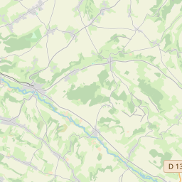
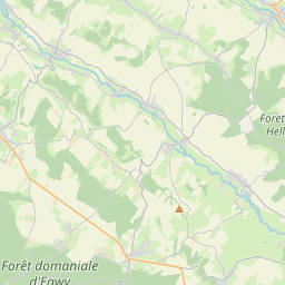
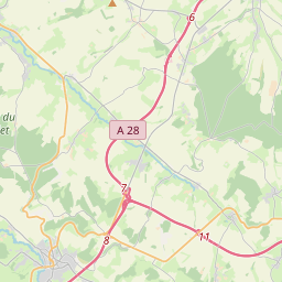
En el mapa

Último precio
—
Precio mínimo
—
Mediana 7 d
—
Ventas 30 d
0
Rango 30 d
—
En circulación
0
Cotización
mediana
mín – máx
ventas
Sin ventas en el periodo
Ver tabla
| Fecha | mediana | Mín | Máx | ventas |
|---|
Historial de ventas
- Última venta
- —
- Media 30 d
- —
- Mínimo 30 d
- —
- Máximo 30 d
- —
- Ventas 7 d
- 0
- Ventas 30 d
- 0
Aún no hay ventas.
Ventas anónimas: sin comprador ni vendedor. Las cifras solo cuentan ventas entre jugadores.
En Wikipedia
Texto en inglés Aún no hay artículo en tu idioma: extracto en inglés.
The Pays de Bray (French pronunciation: [pe.i də bʁɛ], literally Land of Bray) is a small (about 750 km2) natural region of France situated to the north-east of Rouen, straddling the French departments of the Seine-Maritime and the Oise (historically divided among the Provinces of Normandy and Picardy since 911, now divided among the administrative regions of Normandy and Picardy). The landscape is of bocage, a land use which arises from its clay soil, and is suited to the development of pasture for the raising of dairy cattle. It produces famous butters and cheeses such as Neufchâtel.
Texto: Wikipedia en inglés, CC BY-SA 4.0. · Imagen: Stardsen (CC BY-SA 4.0) ·


