

Común · Lugares
Cramlington
Town and civil parish in the county of Northumberland, England
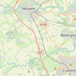
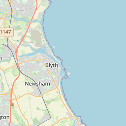
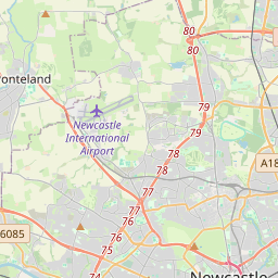
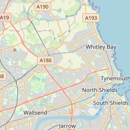
Cramlington is a town and civil parish in Northumberland. It is 6 miles (9.7 kilometres) north of Newcastle upon Tyne. The name suggests a probable founding by the Danes or Anglo-Saxons.
En el mapa
En Wikipedia
Texto en inglés Aún no hay artículo en tu idioma: extracto en inglés.
Cramlington is a town and civil parish in Northumberland. It is 6 miles (9.7 kilometres) north of Newcastle upon Tyne. The name suggests a probable founding by the Danes or Anglo-Saxons. The population was 28,843 as of 2021 census data from Northumberland County Council. It sits on the border between Northumberland and North Tyneside with the traffic interchange at Moor Farm, Annitsford, linking the two areas. The area of East Cramlington lies east of the A189, on the B1326 road that connects the town to Seaton Delaval.
Texto: Wikipedia en inglés, CC BY-SA 4.0. · Imagen: Steve Nova (talk) (Uploads) (CC BY-SA 3.0) ·
Cartas cercanas
-
 ★
★
Charmouth
Población costera en el oeste de Dorset (Inglaterra) cuyos acantilados son conocidos por sus fósiles del Jurásico
-
 ★★
★★
Northallerton
Ciudad inglesa
-
 ★★
★★
Tyneside
Conurbation in North East England
-
 ★
★
Kirkbymoorside
-
 ★
★
Carmacks
Pueblo en el territorio del Yukón, Canadá
-
 ★★★★
★★★★
Northumberland
Condado ceremonial de Inglaterra