
Derbent
District in Konya, Turkey
Derbent is a municipality and district of Konya Province, Turkey. Its area is 359 km2, and its population is 4,052 (2022). Its area is 359 km², of which approximately 10 km² is irrigable and the total area of 156 km² is agricultural land.
Nº Q3023581 ★★★
Rara · Lugares
Derbent
District in Konya, Turkey
Derbent is a municipality and district of Konya Province, Turkey. Its area is 359 km2, and its population is 4,052 (2022). Its area is 359 km², of which approximately 10 km² is irrigable and the total area of 156 km² is agricultural land.
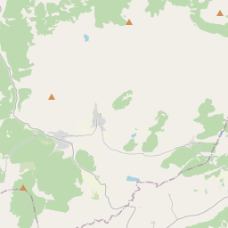
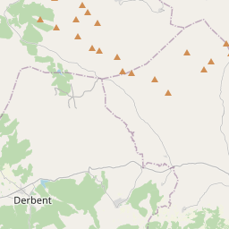
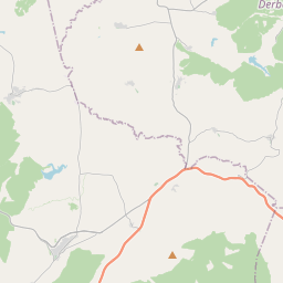
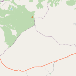
En el mapa
Último precio
—
Precio mínimo
—
Mediana 7 d
—
Ventas 30 d
0
Rango 30 d
—
En circulación
0
Cotización
mediana
mín – máx
ventas
Sin ventas en el periodo
Ver tabla
| Fecha | mediana | Mín | Máx | ventas |
|---|
Historial de ventas
- Última venta
- —
- Media 30 d
- —
- Mínimo 30 d
- —
- Máximo 30 d
- —
- Ventas 7 d
- 0
- Ventas 30 d
- 0
Aún no hay ventas.
Ventas anónimas: sin comprador ni vendedor. Las cifras solo cuentan ventas entre jugadores.
En Wikipedia
Texto en inglés Aún no hay artículo en tu idioma: extracto en inglés.
Derbent is a municipality and district of Konya Province, Turkey. Its area is 359 km2, and its population is 4,052 (2022). Its area is 359 km², of which approximately 10 km² is irrigable and the total area of 156 km² is agricultural land. The remaining part is settlements, forest and pasture land. In the Ottoman Period, the word "derbent" was used to mean department. In this sense, the outposts used in passages and straits on mountains are called "derbents". Derbent remained within the borders of the Eshrefids Principality during the Seljuk period. Eşrefoğulları Principality borders includes the borders of Ilgın, Bolvadin and Akşehir after Beyşehir and Seydişehir. Cities such as Bozkır, Şarkikaraağaç, Yalvaç, Gelendost, Kıreli, Doğanhisar and even Çal were sometimes included within the borders of the principality.
Texto: Wikipedia en inglés, CC BY-SA 4.0. · Imagen: Batuhan duz (CC BY-SA 4.0) ·


