

Común · Lugares
Edale (Inglaterra)
Pequeña aldea del Derbyshire y Parroquia Civil en el distrito Peak.
Edale is a village and civil parish in the Peak District, Derbyshire, England, whose population was 353 at the 2011 Census. Edale, with an area of 7,030 acres (2,840 ha), is in the Borough of High Peak.
En el mapa
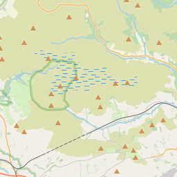
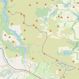
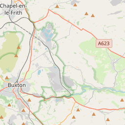
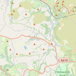
En Wikipedia
Texto en inglés Aún no hay artículo en tu idioma: extracto en inglés.
Edale is a village and civil parish in the Peak District, Derbyshire, England, whose population was 353 at the 2011 Census. Edale, with an area of 7,030 acres (2,840 ha), is in the Borough of High Peak. Edale is best known to walkers as the start, or southern end, of the Pennine Way and, to less ambitious walkers, as a starting point for evening or day walks. The village is accessible by generally hourly railway services from Sheffield and Manchester. There are two pubs serving real ale and food.
Texto: Wikipedia en inglés, CC BY-SA 4.0. · Imagen: Rob Bendall (Highfields) (Attribution) ·