

Poco común · Lugares
Eyre Highway
Highway in South Australia and Western Australia
Eyre Highway is a 1,664-kilometre (1,034 mi) highway linking Western Australia and South Australia via the Nullarbor Plain. Signed as National Highways 1 and A1, it forms part of Highway 1 and the Australian National Highway network linking Perth and Adelaide.
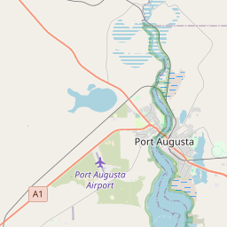
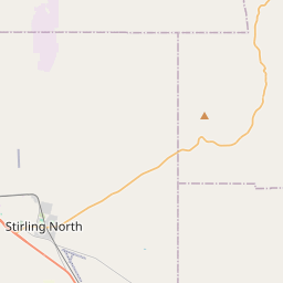
En el mapa
En Wikipedia
Texto en inglés Aún no hay artículo en tu idioma: extracto en inglés.
Eyre Highway is a 1,664-kilometre (1,034 mi) highway linking Western Australia and South Australia via the Nullarbor Plain. Signed as National Highways 1 and A1, it forms part of Highway 1 and the Australian National Highway network linking Perth and Adelaide. It was named after explorer Edward John Eyre, who was the first European to cross the Nullarbor by land, in 1840–1841. Eyre Highway runs from Norseman in Western Australia, past Eucla, to the state border. Continuing to the South Australian town of Ceduna, it crosses the top of the Eyre Peninsula before reaching Port Augusta. The construction of the East–West Telegraph line in the 1870s, along Eyre's route, resulted in a hazardous trail that could be followed for interstate travel. A national highway was called for, with the federal government seeing the route's importance in 1941, when a war in the Pacific seemed imminent. The highway was constructed between July 1941 and June 1942, and was trafficable by January 1942. It was originally named Forrest Highway, after John Forrest, by the war cabinet. It was officially named Eyre Highway, a name agreed upon by the states' nomenclature committees. The finished road, while an improvement over the previous route, still was not much more than a track, and remained such throughout the 1940s and 1950s. Efforts to seal the highway began in Norseman in 1960, with the Western Australian section completed in 1969 and the South Australian section finished in 1976. Further improvement works have been undertaken since the 1980s, including widening and reconstructing portions of the road.
Texto: Wikipedia en inglés, CC BY-SA 4.0. · Imagen: Diceman~commonswiki (Public domain) ·


