

Común · Lugares
Gorodovikovsky District
Municipal district in Kalmykia, Russia
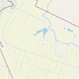
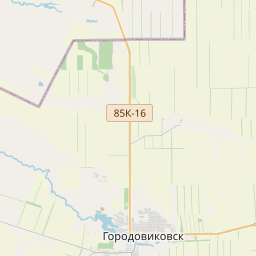
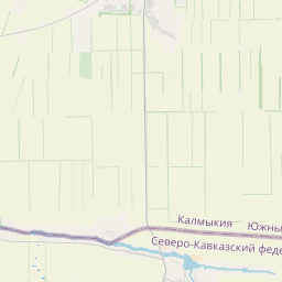
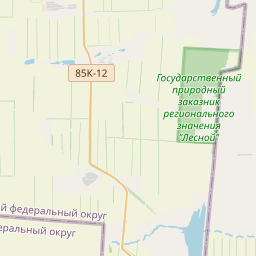
Gorodovikovsky District (Russian: Городовико́вский райо́н; Kalmyk: Башнтан район, Başntan rayon) is an administrative and municipal district (raion), one of the thirteen in the Republic of Kalmykia, Russia. It is located in the west of the republic. The area of the district is 1,099.05 square kilometers (424.35 sq mi).
En el mapa
En Wikipedia
Texto en inglés Aún no hay artículo en tu idioma: extracto en inglés.
Gorodovikovsky District (Russian: Городовико́вский райо́н; Kalmyk: Башнтан район, Başntan rayon) is an administrative and municipal district (raion), one of the thirteen in the Republic of Kalmykia, Russia. It is located in the west of the republic. The area of the district is 1,099.05 square kilometers (424.35 sq mi). Its administrative center is the town of Gorodovikovsk. As of the 2010 Census, the total population of the district was 17,295, with the population of Gorodovikovsk accounting for 55.3% of that number.
Texto: Wikipedia en inglés, CC BY-SA 4.0. · Imagen: Rartat (CC0) ·
Cartas cercanas
-
 ★
★
Gorokhovsky Lane
Street in Basmanny District, Russia
-
 ★
★
Khilkov Lane
Street in Khamovniki District, Russia
-
 ★
★
Burdenko Street
Street in Khamovniki District, Russia
-
 ★
★
Yeropkinsky Lane
Street in Khamovniki District, Russia
-
 ★
★
Borovitskaya square
Street in Khamovniki District, Russia
-
 ★
★
Gogolevsky Boulevard, 10
Building complex in Khamovniki District, Russia