

Común · Lugares
Hill (stream)
River in Belgium, mouth in Vesdre
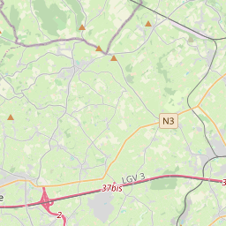
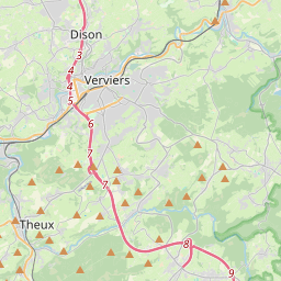
The Hill (French: Helle) is a stream in the High Fens in east Belgium.
En el mapa


En Wikipedia
Texto en inglés Aún no hay artículo en tu idioma: extracto en inglés.
The Hill (French: Helle) is a stream in the High Fens in east Belgium. The Hill rises near the highest point in Belgium, the Signal de Botrange and empties into the Vesdre (Weser) at Eupen, 25 kilometres further north. The most important tributaries of the Hill are the Spoorbach and the Soor. The confluence of the Hill and the Spoorbach is located 10 kilometres further downstream near the village of Herzogenhügel. This village is interesting for geological reasons: in a stone quarry there is the only rock of volcanic origin in East Belgium. The Soor discharges into the Hill just before Eupen, at a place called the Black Bridge (Schwarze Brücke). During the Roman era the river was a boundary between the administrative regions of Tongeren (Civitas Tungrorum) and Cologne (Civitas Agrippinensium). From the High Middle Ages to 1795 it was the border between the territorial lordships that divided up the region of the High Fens. For example, the border between the Duchy of Limburg and the Duchy of Luxembourg ran here and, further north, in the area of the Herzogenhügel ("Duke(s) Knoll"), between Limburg and the Duchy of Jülich. From 1815 to 1919 it divided Prussia from the United Kingdom of the Netherlands and its successor state, Belgium.
Texto: Wikipedia en inglés, CC BY-SA 4.0. · Imagen: Boskoyevsky (CC BY 2.5) ·