
Iruma River
River in Japan
The Iruma River (入間川, Iruma-gawa), is a river in Saitama Prefecture, Japan. It is 63 kilometres (39 mi) long and has a watershed of 721 square kilometres (278 sq mi). The river rises from Mount Ōmochi in Hannō, Saitama and flows to the Arakawa River at Kawagoe, Saitama.
Nº Q3915459 ★★★
Rara · Lugares
Iruma River
River in Japan
The Iruma River (入間川, Iruma-gawa), is a river in Saitama Prefecture, Japan. It is 63 kilometres (39 mi) long and has a watershed of 721 square kilometres (278 sq mi). The river rises from Mount Ōmochi in Hannō, Saitama and flows to the Arakawa River at Kawagoe, Saitama.
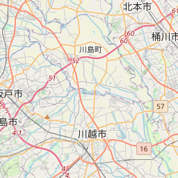
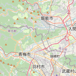
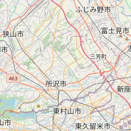
En el mapa

Último precio
—
Precio mínimo
—
Mediana 7 d
—
Ventas 30 d
0
Rango 30 d
—
En circulación
0
Cotización
mediana
mín – máx
ventas
Sin ventas en el periodo
Ver tabla
| Fecha | mediana | Mín | Máx | ventas |
|---|
Historial de ventas
- Última venta
- —
- Media 30 d
- —
- Mínimo 30 d
- —
- Máximo 30 d
- —
- Ventas 7 d
- 0
- Ventas 30 d
- 0
Aún no hay ventas.
Ventas anónimas: sin comprador ni vendedor. Las cifras solo cuentan ventas entre jugadores.
En Wikipedia
Texto en inglés Aún no hay artículo en tu idioma: extracto en inglés.
The Iruma River (入間川, Iruma-gawa), is a river in Saitama Prefecture, Japan. It is 63 kilometres (39 mi) long and has a watershed of 721 square kilometres (278 sq mi). The river rises from Mount Ōmochi in Hannō, Saitama and flows to the Arakawa River at Kawagoe, Saitama. Before the flood control projects in the Edo Period, when the Ara River was diverted into its course, the Iruma River flowed on its own into Edo Bay.
Texto: Wikipedia en inglés, CC BY-SA 4.0. · Imagen: R463 (Public domain) ·
Cartas cercanas

GTX-A
Nº Q22974067 ★★★

Nacogdoches
Ciudad en el estado de Texas, Estados Unidos
Nº Q970482 ★★★

Ducado de Cornualles
Ducado real de Inglaterra, propiedad privada del heredero al trono británico
Nº Q876107 ★★★

Solihull
Ciudad de los Midlands Occidentales de Inglaterra
Nº Q397343 ★★★

Gueto de Minsk
Nº Q153336 ★★★
תחבורה ביהודה ושומרון
Nº Q136752685 ★★★