
Kabelske
River in Germany
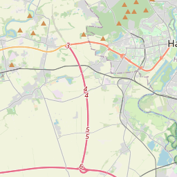
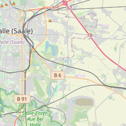
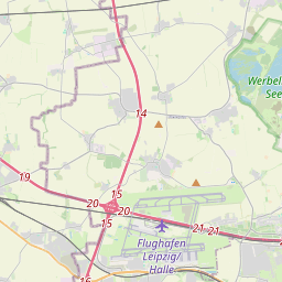
The Kabelske (German pronunciation: [kaˈbɛlskə]) is a river in the German states of Saxony and Saxony-Anhalt. It is a left tributary of the Reide, and flows through the counties of Nordsachsen and Saalekreis, as well as the eastern part of the borough of Halle (Saale) in southern Saxony-Anhalt.
Nº Q1719649 ★
Común · Lugares
Kabelske
River in Germany
The Kabelske (German pronunciation: [kaˈbɛlskə]) is a river in the German states of Saxony and Saxony-Anhalt. It is a left tributary of the Reide, and flows through the counties of Nordsachsen and Saalekreis, as well as the eastern part of the borough of Halle (Saale) in southern Saxony-Anhalt.
En el mapa
Último precio
—
Precio mínimo
—
Mediana 7 d
—
Ventas 30 d
0
Rango 30 d
—
En circulación
0
Cotización
mediana
mín – máx
ventas
Sin ventas en el periodo
Ver tabla
| Fecha | mediana | Mín | Máx | ventas |
|---|
Historial de ventas
- Última venta
- —
- Media 30 d
- —
- Mínimo 30 d
- —
- Máximo 30 d
- —
- Ventas 7 d
- 0
- Ventas 30 d
- 0
Aún no hay ventas.
Ventas anónimas: sin comprador ni vendedor. Las cifras solo cuentan ventas entre jugadores.
En Wikipedia
Texto en inglés Aún no hay artículo en tu idioma: extracto en inglés.
The Kabelske (German pronunciation: [kaˈbɛlskə]) is a river in the German states of Saxony and Saxony-Anhalt. It is a left tributary of the Reide, and flows through the counties of Nordsachsen and Saalekreis, as well as the eastern part of the borough of Halle (Saale) in southern Saxony-Anhalt. Its source is a reservoir on the western edge of Leipzig-Halle Airport in the cadastral municipality of Schkeuditz in Nordsachsen. It then flows northwest, passes under the A 9 motorway and the Erfurt–Leipzig/Halle high-speed railway line near Gröbers. Its waters flow almost entirely on the territory of the eponymous unitary municipality of Kabelsketal with its villages of Beuditz, Schwoitsch, Benndorf and Naundorf, until it reaches the Halle city quarter of Kanena, where it empties into the Reide from the left. The Reide, in turn, discharges into the White Elster near Osendorf after another 6.5 km (4.0 mi).
Texto: Wikipedia en inglés, CC BY-SA 4.0. · Imagen: Catatine (CC0) ·
Cartas cercanas
-

Ohre
Río de Alemania
Nº Q695628 ★★
Sin ofertas
-

Selke
Tributary of the River Bode in Saxony-Anhalt, Germany
Nº Q878343 ★★
Sin ofertas
-

Kalbe
Municipio de Alemania
Nº Q539118 ★★★
Sin ofertas
-

Río Oste
Río de Alemania
Nº Q3330 ★★★
Sin ofertas
-

Ehle
Right tributary of Elbe in Saxony-Anhalt
Nº Q877721 ★★
Sin ofertas
-

Northern Rietzschke
River in Leipzig, Germany
Nº Q1475914 ★
Sin ofertas