
Karmaskalinsky District
Municipal district in Russia
Karmaskalinsky District (Russian: Кармаскали́нский райо́н; Bashkir: Ҡырмыҫҡалы районы, Qırmıśqalı rayonı) is an administrative and municipal district (raion), one of the fifty-four in the Republic of Bashkortostan, Russia. It is located in the center of the republic and borders with Ufimsky and Iglinsky Districts in the north, Arkhangelsky District in the east, Gafuriysky District in the southeast, Aurgazinsky District in the south, Davlekanovsky District in the southwest, and with Chishminsky District in the west.
Nº Q1104923 ★★
Poco común · Lugares
Karmaskalinsky District
Municipal district in Russia
Karmaskalinsky District (Russian: Кармаскали́нский райо́н; Bashkir: Ҡырмыҫҡалы районы, Qırmıśqalı rayonı) is an administrative and municipal district (raion), one of the fifty-four in the Republic of Bashkortostan, Russia. It is located in the center of the republic and borders with Ufimsky and Iglinsky Districts in the north, Arkhangelsky District in the east, Gafuriysky District in the southeast, Aurgazinsky District in the south, Davlekanovsky District in the southwest, and with Chishminsky District in the west.
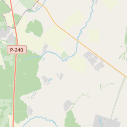
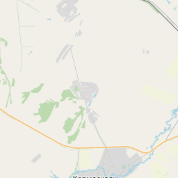
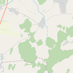
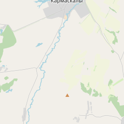
En el mapa
Último precio
—
Precio mínimo
—
Mediana 7 d
—
Ventas 30 d
0
Rango 30 d
—
En circulación
0
Cotización
mediana
mín – máx
ventas
Sin ventas en el periodo
Ver tabla
| Fecha | mediana | Mín | Máx | ventas |
|---|
Historial de ventas
- Última venta
- —
- Media 30 d
- —
- Mínimo 30 d
- —
- Máximo 30 d
- —
- Ventas 7 d
- 0
- Ventas 30 d
- 0
Aún no hay ventas.
Ventas anónimas: sin comprador ni vendedor. Las cifras solo cuentan ventas entre jugadores.
En Wikipedia
Texto en inglés Aún no hay artículo en tu idioma: extracto en inglés.
Karmaskalinsky District (Russian: Кармаскали́нский райо́н; Bashkir: Ҡырмыҫҡалы районы, Qırmıśqalı rayonı) is an administrative and municipal district (raion), one of the fifty-four in the Republic of Bashkortostan, Russia. It is located in the center of the republic and borders with Ufimsky and Iglinsky Districts in the north, Arkhangelsky District in the east, Gafuriysky District in the southeast, Aurgazinsky District in the south, Davlekanovsky District in the southwest, and with Chishminsky District in the west. The area of the district is 1,750 square kilometers (680 sq mi). Its administrative center is the rural locality (a selo) of Karmaskaly. As of the 2010 Census, the total population of the district was 51,504, with the population of Karmaskaly accounting for 16.6% of that number.
Texto: Wikipedia en inglés, CC BY-SA 4.0. · Imagen: Kudrjashov Andrey (CC BY 3.0) ·
Cartas cercanas

Aurgazinsky District
Municipal district in Russia
Nº Q781569 ★★

Raión de Iglinó
Raión de Rusia
Nº Q636221 ★★

Chishminsky District
Human settlement in Russia
Nº Q2363239 ★★★

distrito de Gafuriysky
Distrito municipal de la república de Baskortostán, Rusia
Nº Q678695 ★★

Ufimsky District
Municipal district in Russia
Nº Q1092754 ★★

Blagoveshchensky District, Bashkortostan
Municipal district in Russia
Nº Q804290 ★★