

Común · Lugares
Katyn-Tau
Mountain on the border of Georgia and Russia
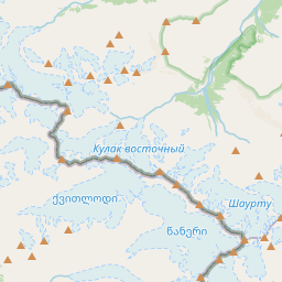
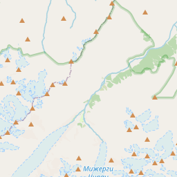
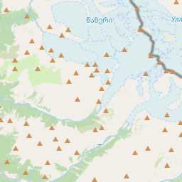
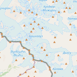
Katyn-Tau (Georgian: კათინთაუ; Russian: Катын-Тау) is a summit in the central part of the Greater Caucasus Mountain Range (Bezengi Wall). It lies on the border of Svaneti (Mestia Municipality, Georgia) and Kabardino-Balkaria (Russia). The elevation of the mountain is 4979 m (16,335 ft) above sea level.
En el mapa
En Wikipedia
Texto en inglés Aún no hay artículo en tu idioma: extracto en inglés.
Katyn-Tau (Georgian: კათინთაუ; Russian: Катын-Тау) is a summit in the central part of the Greater Caucasus Mountain Range (Bezengi Wall). It lies on the border of Svaneti (Mestia Municipality, Georgia) and Kabardino-Balkaria (Russia). The elevation of the mountain is 4979 m (16,335 ft) above sea level. The mountain is made up of paleozoic granites. The slopes of summit are covered nival landscape. The peak was first ascended in 1888 by a team led by Henry William Holder who summited August 24 via the famously difficult Bezingi Face.
Texto: Wikipedia en inglés, CC BY-SA 4.0. · Imagen: Masa Sakano (CC BY-SA 2.0) ·