

Poco común · Lugares
Kemerovsky District
Human settlement in Russia
Kemerovsky District (Russian: Ке́меровский райо́н) is an administrative district (raion), one of the nineteen in Kemerovo Oblast, Russia. As a municipal division, it is incorporated as Kemerovsky Municipal District. It is located in the northern central portion of the oblast.
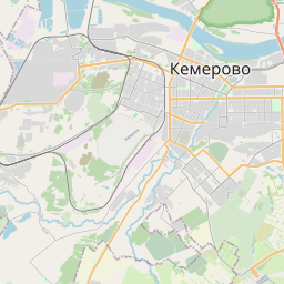
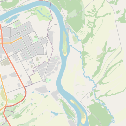
En el mapa
En Wikipedia
Texto en inglés Aún no hay artículo en tu idioma: extracto en inglés.
Kemerovsky District (Russian: Ке́меровский райо́н) is an administrative district (raion), one of the nineteen in Kemerovo Oblast, Russia. As a municipal division, it is incorporated as Kemerovsky Municipal District. It is located in the northern central portion of the oblast. The area of the district is 4,391 square kilometers (1,695 sq mi). Its administrative center is the city of Kemerovo (which is not administratively a part of the district). Population: 45,459 (2010 census); 39,036 (2002 Census); 37,207 (1989 Soviet census). Kemerovsky District is in the northwest of the Kuznetsk Depression, which is the basin of the Tom River between the Salair Ridge to the west, and the Kuznetsk Alatau mountains to the east. The district surrounds the urban city district of Kemerovo, and features a stretch of the Tom River running southeast-to-northwest through the middle. The district covers a rich portion of the Kuznetsk Basin (the "Kuzbass" coal region). The district is 150 km north of the Novokuznetsk.
Texto: Wikipedia en inglés, CC BY-SA 4.0. · Imagen: Bissig (CC BY-SA 4.0) ·