

Común · Lugares
Kenley
District in the south of the London Borough of Croydon (historically in Surrey)
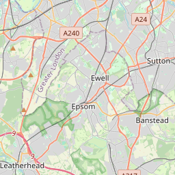
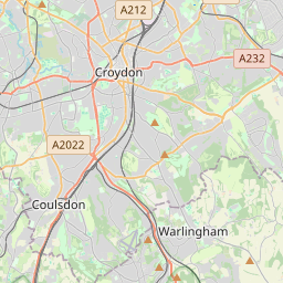
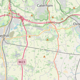
Kenley is a suburb within the London Borough of Croydon. It is located 13 miles (21 km) south of Charing Cross and within the southern boundary of London, England. Surrounded by the Metropolitan Green Belt on three sides, it includes the large open spaces of Kenley Common and Kenley Aerodrome.
En el mapa
En Wikipedia
Texto en inglés Aún no hay artículo en tu idioma: extracto en inglés.
Kenley is a suburb within the London Borough of Croydon. It is located 13 miles (21 km) south of Charing Cross and within the southern boundary of London, England. Surrounded by the Metropolitan Green Belt on three sides, it includes the large open spaces of Kenley Common and Kenley Aerodrome. Kenley was part of the ancient parish of Coulsdon in the county of Surrey and was connected to central London by rail in 1856. As the population of the area was growing, it became part of Coulsdon and Purley Urban District in 1915 and has formed part of Greater London since 1965. At the 2011 Census, Kenley had a population of 14,966.
Texto: Wikipedia en inglés, CC BY-SA 4.0. · Imagen: Dr Neil Clifton (CC BY-SA 2.0) ·
Cartas cercanas
-
 ★
★
Purley, London
Town in South London within the London Borough of Croydon
-
 ★★
★★
Kennington
Barrio de Londres, Inglaterra, ubicado en el distrito de Lambeth
-
 ★
★
Morden
Barrio de Londres, Inglaterra, Reino Unido
-
 ★★★
★★★
Barrio de Ealing (Londres)
Barrio de Londres, Inglaterra, Reino Unido
-
 ★★
★★
Municipio de Croydon (Londres)
Municipio del Gran Londres, Inglaterra
-
 ★
★
Biggin Hill
Localidad inglesa