

Poco común · Lugares
Kyakhtinsky District
Municipal district in Buryatia, Russia
Kyakhtinsky District (Russian: Кя́хтинский райо́н, Russian pronunciation: [ˈkʲæxtʲɪnskʲɪj rəˈjon]; Buryat: Хяагтын аймаг, romanized: Khiaagtyn aimag) is an administrative and municipal district (raion), one of the twenty-one in the Republic of Buryatia, Russia. It is located in the south of the republic.
En el mapa
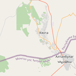
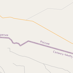
En Wikipedia
Texto en inglés Aún no hay artículo en tu idioma: extracto en inglés.
Kyakhtinsky District (Russian: Кя́хтинский райо́н, Russian pronunciation: [ˈkʲæxtʲɪnskʲɪj rəˈjon]; Buryat: Хяагтын аймаг, romanized: Khiaagtyn aimag) is an administrative and municipal district (raion), one of the twenty-one in the Republic of Buryatia, Russia. It is located in the south of the republic. The area of the district is 4,684 square kilometers (1,809 sq mi). Its administrative center is the town of Kyakhta. As of the 2010 Census, the total population of the district was 39,785, with the population of Kyakhta accounting for 50.3% of that number. The district is located in southern Buryatia, near the Mongolia–Russia border, in the geographical region of the Selenga Highlands. The district was established on December 12, 1923. Within the framework of administrative divisions, Kyakhtinsky District is one of the twenty-one in the Republic of Buryatia. It is divided into one town (an administrative division with the administrative center in the town (an inhabited locality) of Kyakhta), one urban-type settlement (an administrative division with the administrative center in the urban-type settlement (inhabited locality) of Naushki), eight selsoviets, and five somons, all of which comprise forty rural localities. As a municipal division, the district is incorporated as Kyakhtinsky Municipal District.
Texto: Wikipedia en inglés, CC BY-SA 4.0. · Imagen: Vasilii Martynov (CC0) ·