

Común · Lugares
Lake Timiskaming
Lake on the Quebec-Ontario border
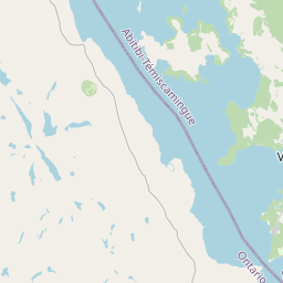
Lake Timiskaming or Lake Temiskaming (French: Lac Témiscamingue, pronounced [lak temiskamɛ̃ɡ]) is a large freshwater lake on the provincial boundary between Ontario and Quebec, Canada. The lake, which forms part of the Ottawa River, is 110 km (68 mi) in length and covers an area of 304 km2 (117 sq mi).
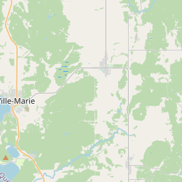
En el mapa
En Wikipedia
Texto en inglés Aún no hay artículo en tu idioma: extracto en inglés.
Lake Timiskaming or Lake Temiskaming (French: Lac Témiscamingue, pronounced [lak temiskamɛ̃ɡ]) is a large freshwater lake on the provincial boundary between Ontario and Quebec, Canada. The lake, which forms part of the Ottawa River, is 110 km (68 mi) in length and covers an area of 304 km (117 sq mi). Its water level ranges between 175 m (574 ft) and 179 m (587 ft) above sea level, with a mean annual average of 178.4 m (585 ft). The lake is in places up to 216 m (709 ft) deep. There are several islands on the lake, notably Mann and du Collège Islands. The name is from the Algonquin Temikami or Temikaming, meaning "deep body of water with rapid winds.” The lake was shaped during the last ice age when glaciers carved into the rock. It is also the remnants of a huge basin called Lake Ojibway, which existed about 9,500 years ago. There are 30 species of fish, the best known are northern pike, lake sturgeon, lake trout, walleye, smallmouth bass, bullhead, carp, burbot, perch, and whitefish. Fort Témiscamingue was a trading post on the lake.
Texto: Wikipedia en inglés, CC BY-SA 4.0. · Imagen: NASA WorldWind (Public domain) ·