

Poco común · Lugares
Mansky District
Human settlement in Russia
Mansky District (Russian: Ма́нский райо́н) is an administrative and municipal district (raion), one of the forty-three in Krasnoyarsk Krai, Russia. It is located in the south of the krai and borders with Beryozovsky District in the north and northwest, Uyarsky District in the northeast, Partizansky District in the southeast, Kuraginsky District in the south, and with Balakhtinsky District in the southwest.
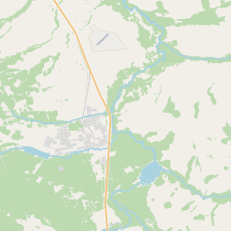
En el mapa

En Wikipedia
Texto en inglés Aún no hay artículo en tu idioma: extracto en inglés.
Mansky District (Russian: Ма́нский райо́н) is an administrative and municipal district (raion), one of the forty-three in Krasnoyarsk Krai, Russia. It is located in the south of the krai and borders with Beryozovsky District in the north and northwest, Uyarsky District in the northeast, Partizansky District in the southeast, Kuraginsky District in the south, and with Balakhtinsky District in the southwest. The area of the district is 5,976 square kilometers (2,307 sq mi). Its administrative center is the rural locality (a selo) of Shalinskoye. Population: 16,077 (2010 census); 18,618 (2002 Census); 21,888 (1989 Soviet census). The population of Shalinskoye accounts for 24.5% of the district's total population.
Texto: Wikipedia en inglés, CC BY-SA 4.0. · Imagen: Александр Ромашенко (CC BY 3.0) ·
Cartas cercanas
-
 ★
★
Minusinsky District
Human settlement in Russia
-
 ★★
★★
Partizansky District, Krasnoyarsk Krai
Municipal district in Russia
-
 ★
★
Uyarsky District
District of Krasnoyarsk Krai, Russia
-
 ★
★
Sayansky District
Municipal district in Russia
-
 ★
★
Balakhtinsky District
Municipal district in Russia
-
 ★
★
Krasnoturansky District
Human settlement in Russia