
Mendip Hills
Range of limestone hills to the south of Bristol and Bath in Somerset, England
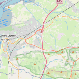
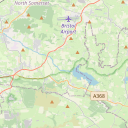
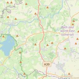
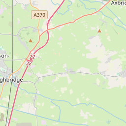
The Mendip Hills (commonly called the Mendips; ) is a range of limestone hills to the south of Bristol and Bath in Somerset, England. Running from Weston-super-Mare and the Bristol Channel in the west to the Frome valley in the east, the hills overlook the Somerset Levels to the south and the Chew Valley and other tributaries of the Avon to the north.
Nº Q1920360 ★
Común · Lugares
Mendip Hills
Range of limestone hills to the south of Bristol and Bath in Somerset, England
The Mendip Hills (commonly called the Mendips; ) is a range of limestone hills to the south of Bristol and Bath in Somerset, England. Running from Weston-super-Mare and the Bristol Channel in the west to the Frome valley in the east, the hills overlook the Somerset Levels to the south and the Chew Valley and other tributaries of the Avon to the north.
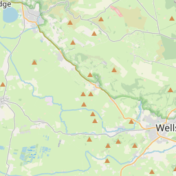
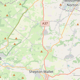
En el mapa
Último precio
—
Precio mínimo
—
Mediana 7 d
—
Ventas 30 d
0
Rango 30 d
—
En circulación
0
Cotización
mediana
mín – máx
ventas
Sin ventas en el periodo
Ver tabla
| Fecha | mediana | Mín | Máx | ventas |
|---|
Historial de ventas
- Última venta
- —
- Media 30 d
- —
- Mínimo 30 d
- —
- Máximo 30 d
- —
- Ventas 7 d
- 0
- Ventas 30 d
- 0
Aún no hay ventas.
Ventas anónimas: sin comprador ni vendedor. Las cifras solo cuentan ventas entre jugadores.
En Wikipedia
Texto en inglés Aún no hay artículo en tu idioma: extracto en inglés.
The Mendip Hills (commonly called the Mendips; ) is a range of limestone hills to the south of Bristol and Bath in Somerset, England. Running from Weston-super-Mare and the Bristol Channel in the west to the Frome valley in the east, the hills overlook the Somerset Levels to the south and the Chew Valley and other tributaries of the Avon to the north. The highest point, at 325 metres (1,066 ft) above sea level, is Beacon Batch which is the summit area atop Black Down. The hills gave their name to the former local government district of Mendip, which administered most of the local area until April 2023. The higher, western part of the hills, covering 198 km2 (76 sq mi) has been designated an Area of Outstanding Natural Beauty (AONB), which gives it a level of protection comparable to a national park. The hills are largely formed from Carboniferous Limestone, which is quarried at several sites. Ash–maple woodland, calcareous grassland and mesotrophic grassland which can be found across the Mendip Hills provide nationally important semi-natural habitats. With their temperate climate these support a range of flora and fauna including birds, butterflies and small mammals. The dry stone walls that divide the pasture into fields are of botanical importance as they support important populations of the nationally scarce wall whitlowgrass (Draba muralis). Mendip has seen human activity since Palaeolithic and Mesolithic times with a range of artefacts being recovered from caves. Neolithic, Iron Age, and Bronze Age features such as barrows are numerous with over 200 scheduled ancient monuments recorded. There is evidence of mining in the Mendips dating back to the late Bronze Age, which increased after the Roman invasion, particularly for lead and silver around Charterhouse. The difficult conditions in the area were noted by William Wilberforce in...
Texto: Wikipedia en inglés, CC BY-SA 4.0. · Imagen: George Evans (CC BY-SA 2.0) ·
Cartas cercanas

Alabama Hills
Mountain range in the Owens Valley of Inyo County, California, United States
Nº Q1505269 ★★

Montes Cheviot
Colina de Reino Unido
Nº Q383335 ★

Peak District
Nº Q1330811 ★★★

Garganta de Cheddar
Desfiladero en las colinas de Mendip, cerca de Cheddar (Somerset, Inglaterra)
Nº Q1068812 ★★★

Región del Sudoeste de Inglaterra
Región de Inglaterra
Nº Q48026 ★★★

Somerset Levels
Coastal plain and wetland area of Somerset, South West England
Nº Q6376320 ★