

Común · Lugares
Mere, Cheshire
Village and civil parish in Cheshire East, UK
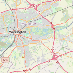
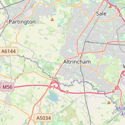
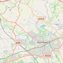
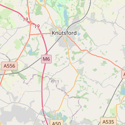
Mere is a civil parish and linear village along the old course of the A556 road in the unitary authority of Cheshire East and the ceremonial county of Cheshire, North West England, about 4 miles (6.4 km) south-west of Altrincham. Bucklow Hill is at its northeast end, and the Mere crossroads is at the southwest end.
En el mapa
En Wikipedia
Texto en inglés Aún no hay artículo en tu idioma: extracto en inglés.
Mere is a civil parish and linear village along the old course of the A556 road in the unitary authority of Cheshire East and the ceremonial county of Cheshire, North West England, about 4 miles (6.4 km) south-west of Altrincham. Bucklow Hill is at its northeast end, and the Mere crossroads is at the southwest end. The village of Mere is about a mile long and has a varied stock of housing. Most houses are large and have ample gardens leading down to the lake; these are along the inner sides of a triangle formed by the A556, A50 and A5034 roads. Inside the triangle is a lake after which Mere was named, and a golf and country club.
Texto: Wikipedia en inglés, CC BY-SA 4.0. · Imagen: Mike Faherty (CC BY-SA 2.0) ·
Cartas cercanas
-
 ★
★
Mere (Wiltshire)
Localidad de Inglaterra (UK)
-
 ★★★★
★★★★
Cheshire
Condado ceremonial de Inglaterra
-
 ★
★
Martin Mere
Mere near Burscough, in Lancashire, England
-
 ★★
★★
Chesham
Localidad y parroquia civil en Buckinghamshire, Inglaterra
-
 ★
★
Bucklebury
-
 ★
★
Much Marcle
Village and civil parish in Herefordshire, United Kingdom