

Común · Lugares
Moel Famau
Hill (554.8m) in Denbighshire
Moel Famau is the highest hill in the Clwydian Range and the highest point (county top) of the county of Flintshire in Wales (both the historic county and the current council area). It lies on the boundary between Denbighshire and Flintshire.
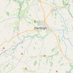
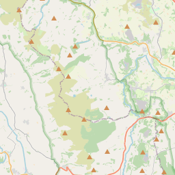
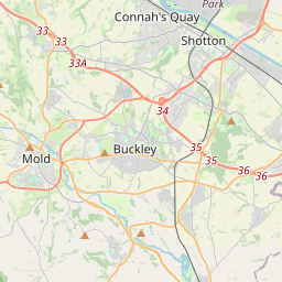
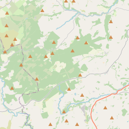
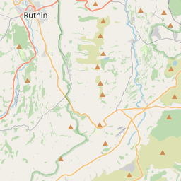
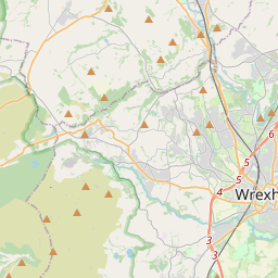
En el mapa
En Wikipedia
Texto en inglés Aún no hay artículo en tu idioma: extracto en inglés.
Moel Famau (listen) is the highest hill in the Clwydian Range and the highest point (county top) of the county of Flintshire in Wales (both the historic county and the current council area). It lies on the boundary between Denbighshire and Flintshire. The hill, which also gives its name to the Moel Famau country park, has been classed as an Area of Outstanding Natural Beauty since 1985. It is also surrounded by several well-preserved Iron Age hill forts. It is also the fourth-highest peak in the extended AONB of the Clwydian Range and Dee Valley. It is sometimes claimed as the highest point in North-east Wales, but that honour goes to Cadair Berwyn; Moel Famau is also lower than Moel y Gamelin and Moel Fferna, the highest points in the Clwydian Range and Dee Valley Area of Outstanding Natural Beauty. A northern part of the Offa's Dyke long-distance footpath, one of the UK's most popular National Trails, crosses the summit of Moel Famau and the Jubilee Tower. Loggerheads Country Park is nearby. Although historical sources attest to a variety of spellings (such as Moel Famma, Moel Vamma and Moel Fammau), the only two in common use today are Moel Famau and Moel Fama. The first word moel is a common Welsh place-name element meaning "bare".
Texto: Wikipedia en inglés, CC BY-SA 4.0. · Imagen: Llywelyn2000 (CC BY-SA 4.0) ·