
Monte Mansfield
Montaña más alta del estado de Vermont, Estados Unidos
Mount Mansfield is the highest mountain in Vermont, reaching an elevation of 4,393 feet (1,339 m) above sea level. Located in the northwest of the state, it is also the highest peak in the Green Mountains.
Nº Q573840 ★★
Poco común · Lugares
Monte Mansfield
Montaña más alta del estado de Vermont, Estados Unidos
Mount Mansfield is the highest mountain in Vermont, reaching an elevation of 4,393 feet (1,339 m) above sea level. Located in the northwest of the state, it is also the highest peak in the Green Mountains.
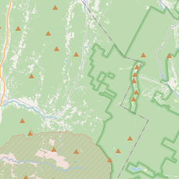
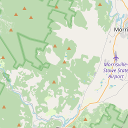
En el mapa
Último precio
—
Precio mínimo
—
Mediana 7 d
—
Ventas 30 d
0
Rango 30 d
—
En circulación
0
Cotización
mediana
mín – máx
ventas
Sin ventas en el periodo
Ver tabla
| Fecha | mediana | Mín | Máx | ventas |
|---|
Historial de ventas
- Última venta
- —
- Media 30 d
- —
- Mínimo 30 d
- —
- Máximo 30 d
- —
- Ventas 7 d
- 0
- Ventas 30 d
- 0
Aún no hay ventas.
Ventas anónimas: sin comprador ni vendedor. Las cifras solo cuentan ventas entre jugadores.
En Wikipedia
Texto en inglés Aún no hay artículo en tu idioma: extracto en inglés.
Mount Mansfield is the highest mountain in Vermont, reaching an elevation of 4,393 feet (1,339 m) above sea level. Located in the northwest of the state, it is also the highest peak in the Green Mountains. Its summit is located within the town of Underhill in Chittenden County; the ridgeline, including some secondary peaks, extends into the town of Stowe in Lamoille County, and the mountain's flanks also reach into the town of Cambridge. When viewed from the east or west, the mountain has the appearance of a (quite elongated) human profile, with distinct forehead, nose, lips, chin, and Adam's apple. These features are most recognizable when viewed from the east; unlike most human faces, the chin is the highest point. The Abenaki describe the mountain as having the appearance of a moose. Located in Mount Mansfield State Forest, the mountain is used for various recreational and commercial purposes. "The Nose" is home to transmitter towers for a number of regional radio and TV stations. There are many hiking trails, including the Long Trail, which traverses the main ridgeline. In addition, the east flank of the mountain is used by the Stowe Mountain Resort for winter skiing. A popular tourist activity is to drive the 4.5-mile (7.2 km) toll road, a steep, mostly unpaved road with several hairpin turns, from the Stowe Base Lodge to "The Nose" and then hike along the ridge to "The Chin." Mount Mansfield is one of three locations in Vermont where true alpine tundra survives from the Ice Ages. A few acres exist on Camel's Hump and Mount Abraham nearby and to the south, but Mount Mansfield's summit still holds about 200 acres (81 ha). In 1980, the Mount Mansfield Natural Area was designated as a National Natural Landmark by the National Park Service.
Texto: Wikipedia en inglés, CC BY-SA 4.0. · Imagen: Original uploader was Calzarette (Joe Calzarette) at en.wiki... (Public domain) ·
Cartas cercanas

Stowe (Vermont)
Pueblo en el condado de Lamoille, Vermont, Estados Unidos
Nº Q550498 ★★

Monte Katahdin
Nº Q1858056 ★★★

Monte Greylock
Mountain in Massachusetts
Nº Q1587225 ★★

Baumberge
Mountain range
Nº Q811522 ★★

Monte Rogers
Highest mountain in Virginia
Nº Q688645 ★
Montañas Tacónicas
Cordillera en el noreste de Estados Unidos
Nº Q2477664 ★