

Común · Lugares
Narowal District
District of Punjab, Pakistan
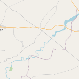
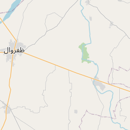
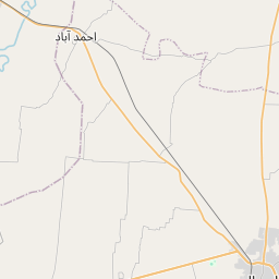
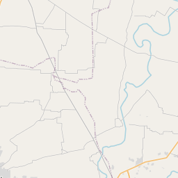
Narowal District is a district within the Gujranwala Division of Punjab, Pakistan. The city of Narowal serves as the headquarters of the district. It was formed in 1991 when the two tehsils of Narowal and Shakargarh were split off from Sialkot District.
En el mapa
En Wikipedia
Texto en inglés Aún no hay artículo en tu idioma: extracto en inglés.
Narowal District is a district within the Gujranwala Division of Punjab, Pakistan. The city of Narowal serves as the headquarters of the district. It was formed in 1991 when the two tehsils of Narowal and Shakargarh were split off from Sialkot District. The district is administratively divided into the following three tehsils (subdivisions), which contain a total of 74 Union Councils: The district has six urban areas. The district is bounded by Sialkot District on the northwest, by India on the north, by Kathua district of Jammu and Kashmir, Gurdaspur and Pathankot districts on the southeast, Amritsar district on the south, and Sheikhupura district in Pakistan on the southwest. As of the 2023 census, Narowal district had a population of 1,950,954 which is roughly equal to the population of Santa Clara County, California, USA and Huangpu District, Guangzhou, China. There are 281,536 households. The district has a sex ratio of 104.40 males to 100 females and a literacy rate of 75.28%: 79.89% for males and 70.49% for females. 494,799 (25.36% of the surveyed population) are under 10 years of age. 349,095 (17.89%) live in urban areas.
Texto: Wikipedia en inglés, CC BY-SA 4.0. · Imagen: Shahzaib Damn Cruze (CC BY-SA 4.0) ·