

Poco común · Lugares
Ostrava Basin
Region in Czech Republic
The Ostrava Basin (Czech: Ostravská pánev, Polish: Kotlina Ostrawska, German: Ostrauer Becken) is a lowland and a geomorphological mesoregion of the Czech Republic and Poland. It is located in the Moravian-Silesian Region of the Czech Republic and in the Silesian Voivodeship of Poland.
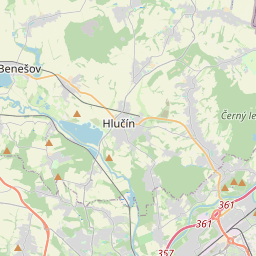
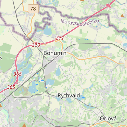
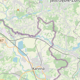
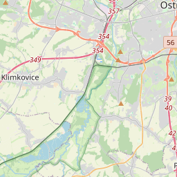
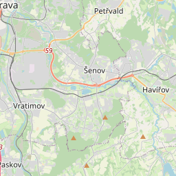
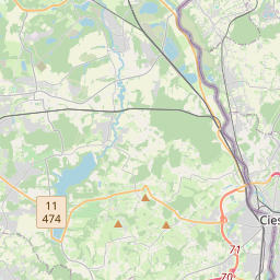
En el mapa
En Wikipedia
Texto en inglés Aún no hay artículo en tu idioma: extracto en inglés.
The Ostrava Basin (Czech: Ostravská pánev, Polish: Kotlina Ostrawska, German: Ostrauer Becken) is a lowland and a geomorphological mesoregion of the Czech Republic and Poland. It is located in the Moravian-Silesian Region of the Czech Republic and in the Silesian Voivodeship of Poland. The Ostrava Basin is a mesoregion of the Northern Outer Subcarpathia within the Outer Subcarpathia in the Western Carpathians. The territory is heavily disturbed by Tertiary radial tectonics. The relief has the character of a plain or flat uplands with rounded ridges. Extensive flat floodplains, lined with steep ale relatively low terraces, are typical. An important element of the relief are anthropogenic shapes caused by industrial and mining activities, especially spoil tips. The basin is further subdivided into eights microregions, seven in the Czech Republic and one in Poland: Antošovice Plain, Ostrava Floodplain, Karviná Plateau, Havířov Plateau, Nová Bělá Plain, Poruba Plateau, Orlová Plateau (in the Czech Republic) and Kończyce High Plain (in Poland). The area is poor in hills. The highest peak is Kouty at 337 metres (1,106 ft) above sea level, located in the territory of Sedliště.
Texto: Wikipedia en inglés, CC BY-SA 4.0. · Imagen: Daniel Baránek (CC BY-SA 3.0) ·