
Piz Linard
Mountain of the Silvretta Alps in Grisons, Switzerland
Piz Linard is a pyramid-shaped mountain of the Swiss Alps. At 3,410 m it is the highest peak of the Silvretta mountain range. It was first climbed on August 1, 1835, by the geologist and naturalist Oswald Heer led by Johann Madutz.
Nº Q675543 ★★★
Rara · Lugares
Piz Linard
Mountain of the Silvretta Alps in Grisons, Switzerland
Piz Linard is a pyramid-shaped mountain of the Swiss Alps. At 3,410 m it is the highest peak of the Silvretta mountain range. It was first climbed on August 1, 1835, by the geologist and naturalist Oswald Heer led by Johann Madutz.
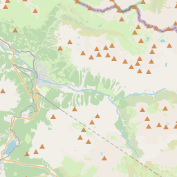
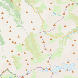
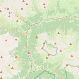
En el mapa

Último precio
—
Precio mínimo
—
Mediana 7 d
—
Ventas 30 d
0
Rango 30 d
—
En circulación
0
Cotización
mediana
mín – máx
ventas
Sin ventas en el periodo
Ver tabla
| Fecha | mediana | Mín | Máx | ventas |
|---|
Historial de ventas
- Última venta
- —
- Media 30 d
- —
- Mínimo 30 d
- —
- Máximo 30 d
- —
- Ventas 7 d
- 0
- Ventas 30 d
- 0
Aún no hay ventas.
Ventas anónimas: sin comprador ni vendedor. Las cifras solo cuentan ventas entre jugadores.
En Wikipedia
Texto en inglés Aún no hay artículo en tu idioma: extracto en inglés.
Piz Linard is a pyramid-shaped mountain of the Swiss Alps. At 3,410 m it is the highest peak of the Silvretta mountain range. It was first climbed on August 1, 1835, by the geologist and naturalist Oswald Heer led by Johann Madutz. There is a legend that a man of name "Chounard" reached the summit in 1572 carrying a large golden cross; however, the cross has never been found. Piz Linard is located between the valleys of Val Lavinuoz (east) and Val Saglains (west), both part of the basin of the Inn river in the Engadine valley.
Texto: Wikipedia en inglés, CC BY-SA 4.0. · Imagen: DrTW at Dutch Wikipedia (CC BY-SA 3.0) ·
Cartas cercanas

Esch-sur-Sûre
Comuna de Luxemburgo
Nº Q986392 ★★★

Ogden (Utah)
Ciudad y sede del condado de Weber, Utah, Estados Unidos
Nº Q52471 ★★★

Gwynedd
Área principal y condado en el noroeste de Gales, Reino Unido
Nº Q109128 ★★★

Condado de Sonoma
Condado en California, Estados Unidos
Nº Q108067 ★★★

Lago Louise
Lago de Canadá
Nº Q1367398 ★★★

Ducado de Sajonia-Coburgo-Saalfeld
Estado del Sacro Imperio Romano Germánico (1699-1806) de la Confederación del Rin (1806-1815) y de la Confederación Germánica (1815-1825)
Nº Q700663 ★★★