

Poco común · Lugares
Rancakalong
District in Sumedang Regency, West Java Province, Indonesia
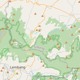
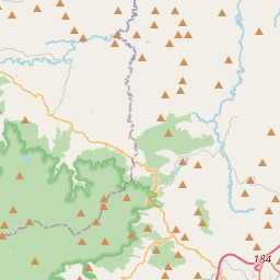
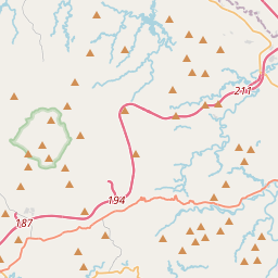
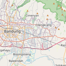
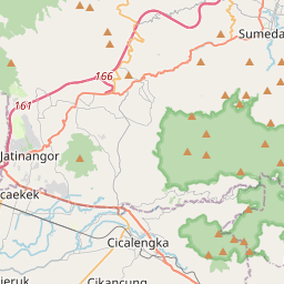
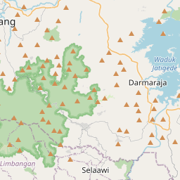
Rancakalong is an administrative district (kecamatan) in Sumedang Regency, part of the province of West Java in Indonesia. It is located north of the provincial route connecting Bandung and Cirebon, with Bandung Metropolitan Area to the southwest, and the town of Sumedang to the east.
En el mapa
En Wikipedia
Texto en inglés Aún no hay artículo en tu idioma: extracto en inglés.
Rancakalong is an administrative district (kecamatan) in Sumedang Regency, part of the province of West Java in Indonesia. It is located north of the provincial route connecting Bandung and Cirebon, with Bandung Metropolitan Area to the southwest, and the town of Sumedang to the east. The district covers a land area of 55.06 km, and had a population of 44,535 as at mid 2024. The administrative centre is at Nagarawangi. Rancakalong District (Kecamatan Rancakalong) is composed of ten rural villages (desa), listed below with their areas and their populations as at the mid 2024 official estimates. All share the post code of 45361. The district is a highland area intermediate between Sumedang town (the regency capital) and the districts which form the northeastern part of Bandung Metropolitan Area. Sukamaju, Sukahayu and Cibungur desa in the east are suburban to Sumedang town, while the other seven desa to the west look towards the Bandung region (although Pangadegan desa in the north is more clearly rural).
Texto: Wikipedia en inglés, CC BY-SA 4.0. ·