

Poco común · Lugares
Rijnwoude
Former municipality of the Netherlands
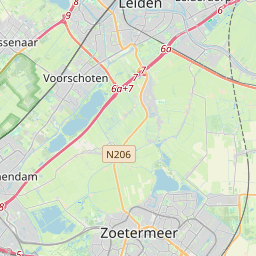
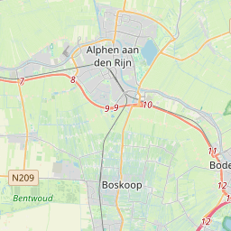
Rijnwoude (Dutch pronunciation: [ˈrɛiɱˌʋʌudə] ) was a municipality in the western Netherlands, in the province of South Holland. The municipality covered an area of 57.89 km2 (22.35 sq mi) of which 1.20 km2 (0.46 sq mi) was water.
En el mapa
En Wikipedia
Texto en inglés Aún no hay artículo en tu idioma: extracto en inglés.
Rijnwoude (Dutch pronunciation: [ˈrɛiɱˌʋʌudə] ) was a municipality in the western Netherlands, in the province of South Holland. The municipality covered an area of 57.89 km2 (22.35 sq mi) of which 1.20 km2 (0.46 sq mi) was water. Rijnwoude was formed in 1991 as Rijneveld through the merger of the former municipalities of Benthuizen, Hazerswoude and Koudekerk aan den Rijn. In 1993 the municipality was renamed to Rijnwoude. In 2014 the municipality was dissolved and its land area was amalgamated into Alphen aan den Rijn. The municipality of Rijnwoude consisted of the communities Benthorn, Benthuizen, Hazerswoude-Dorp, Groenendijk, Hazerswoude-Rijndijk (location of town hall), Hogeveen, and Koudekerk aan den Rijn.
Texto: Wikipedia en inglés, CC BY-SA 4.0. · Imagen: M.Minderhoud (CC BY-SA 3.0) ·
Cartas cercanas
-
 ★★
★★
Alphen aan den Rijn
Municipio de los Países Bajos
-
 ★★
★★
Jacobswoude
Former municipality in South Holland, the Netherlands
-
 ★★★
★★★
Hazerswoude-Rijndijk
Village in Alphen aan den Rijn, Netherlands
-
 ★
★
Reeuwijk
Former municipality of the Netherlands
-
 ★
★
Zoeterwoude
-
 ★★★
★★★
Alkemade
Former municipality in South Holland, the Netherlands