

Común · Lugares
Saine (river)
River in France
The Saine is a French river that flows through the Jura department in the Bourgogne-Franche-Comté region. It is a left tributary of the Ain.
En el mapa
En Wikipedia
Texto en inglés Aún no hay artículo en tu idioma: extracto en inglés.
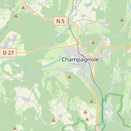
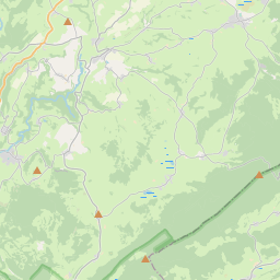
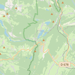
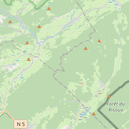
The Saine is a French river that flows through the Jura department in the Bourgogne-Franche-Comté region. It is a left tributary of the Ain. Nineteen kilometers long, the Saine rises in a green, sparsely populated area, in the small village of Foncine-le-Haut, in the Haut-Jura Regional Nature Park, at an altitude of around 892 m. First, it heads south-west, then, on reaching Foncine-le-Bas, it bends north-west and cuts deeply into the limestone plateau, creating the gorges de Malvaux, where it receives a right-bank tributary, the Bief de la Ruine, with its famous waterfall. Near the village of Les Planches-en-Montagne, it creates a spectacular 1 km-long fault, the Gorges de la Langouette. It then continues in the same direction until its confluence with the Ain at Syam, four kilometers upstream of Champagnole, at an altitude of 521 m. In the Jura department alone, the Saine flows through five communes and two cantons: In terms of cantons, the Saine rises in the canton of Les Planches-en-Montagne, and flows into the canton of Champagnole, all in the arrondissement of Lons-le-Saunier. The Saine flows through four hydrographic zones 'L'Ain de la Saine à l'Anguillon (zones V200 V201 excluded)' (V204), 'La Saine de la Lemme à l'Ain' (V203), 'La Saine de sa source à la Lemme' (V202), 'L'Ain de la Serpentine à la Saine' (V201) for a total surface area of 511 km. The Saine has six listed tributaries: The modulus of the Saine at its confluence with the Ain is 8.5 m/s for a catchment area of just 196 km. The water level flowing through the basin is 1,360 millimeters per year, which is very high, four times higher than the average for France as a whole, and also higher than the average for the Ain basin, which is already very high (1,070 millimeters per year at Chazey-sur-Ain). Its specific discharge, or Qsp, is therefore a solid 43.4 liters per second per square kilometer of basin. Covering more than 1,100 hectares, the upper Saine valley has been classified under the French Environment Code since September 2011 for its picturesque character.
Texto: Wikipedia en inglés, CC BY-SA 4.0. · Imagen: Remdub (CC BY-SA 4.0) ·