
Savio
Río de Italia
The Savio is a river in the Emilia-Romagna region of northern Italy. Its source is in the province of Forlì-Cesena near Montecoronaro on Mount Castelvecchio which is near the western side of Mount Fumaiolo. The source is at an elevation of 1,126 metres (3,694 ft) and is marked by an iron monument.
Nº Q2249944 ★★
Poco común · Lugares
Savio
Río de Italia
The Savio is a river in the Emilia-Romagna region of northern Italy. Its source is in the province of Forlì-Cesena near Montecoronaro on Mount Castelvecchio which is near the western side of Mount Fumaiolo. The source is at an elevation of 1,126 metres (3,694 ft) and is marked by an iron monument.
En el mapa
Último precio
—
Precio mínimo
—
Mediana 7 d
—
Ventas 30 d
0
Rango 30 d
—
En circulación
0
Cotización
mediana
mín – máx
ventas
Sin ventas en el periodo
Ver tabla
| Fecha | mediana | Mín | Máx | ventas |
|---|
Historial de ventas
- Última venta
- —
- Media 30 d
- —
- Mínimo 30 d
- —
- Máximo 30 d
- —
- Ventas 7 d
- 0
- Ventas 30 d
- 0
Aún no hay ventas.
Ventas anónimas: sin comprador ni vendedor. Las cifras solo cuentan ventas entre jugadores.
En Wikipedia
Texto en inglés Aún no hay artículo en tu idioma: extracto en inglés.
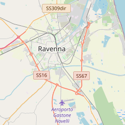
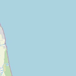
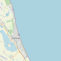
The Savio is a river in the Emilia-Romagna region of northern Italy. Its source is in the province of Forlì-Cesena near Montecoronaro on Mount Castelvecchio which is near the western side of Mount Fumaiolo. The source is at an elevation of 1,126 metres (3,694 ft) and is marked by an iron monument. A wolf (the symbol of Montecoronaro) and the rings of the caveja (a symbol of Romagna) are on this monument. The river flows near Verghereto and Bagno di Romagna as it winds through the mountains before entering Lago di Quarto. After leaving the lake, the river flows northeast near Sarsina (near the border with the province of Pesaro and Urbino) and Mercato Saraceno before flowing north. The river winds for 96 kilometres (60 mi) along the valley. Its natural track has been preserved relatively well and, in the territory of Cesena, it shows an environment which is one of the purest of the whole Romagna. North of Cesena, the river crosses the border into the province of Ravenna. After a total course of 126 kilometres (78 mi) the river enters the Adriatic Sea north of Cervia by Lido di Classe and Lido di Savio. The River Savio Natural Park, 6-kilometre (3.7 mi) along a loop which once hosted a cave, starts from the two historical bridges of Cesena. The park contains many species of animals and plants. The trees divide the area in two belts: the one near the waters contains white willows with black and white poplars; the second presents locust-trees. Although the park is relatively small, many animals are visible here, both birds (herons, king-fishers, woodpeckers and raptors) and mammals (hares, porcupines, foxes, and roe deer).
Texto: Wikipedia en inglés, CC BY-SA 4.0. · Imagen: Soniatiger (CC BY-SA 4.0) ·
Cartas cercanas

Seveso
Río de Italia
Nº Q597454 ★★★

Savena
River in Italy
Nº Q495445 ★★
Montecoronaro
Human settlement in Italy
Nº Q6905046 ★★

Caffaro
Río de Italia
Nº Q640685 ★★

Lido DI Savio
Human settlement in Ravenna, Province of Ravenna, Emilia-Romagna, Italy
Nº Q3832085 ★★★

Cavezzo
Comuna italiana
Nº Q100046 ★★★