
Sit (river)
River in Tver and Yaroslavl Oblasts, Russia
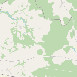
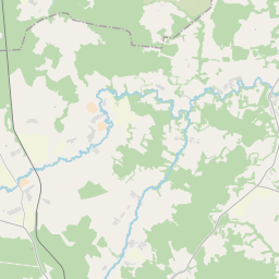
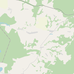
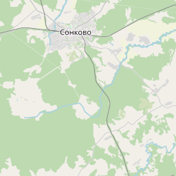
The Sit (Russian: Сить) is a tributary of the Rybinsk Reservoir (nominally, of the Mologa, into which the Sit used to flow before the reservoir was filled). The river flows for 159 kilometres (99 mi) through Sonkovsky District of Tver Oblast and Nekouzsky and Breytovsky Districts of Yaroslavl Oblasts, Russia, before entering the Rybinsk Reservoir near the large village of Breitovo.
Nº Q2994977 ★★
Poco común · Lugares
Sit (river)
River in Tver and Yaroslavl Oblasts, Russia
The Sit (Russian: Сить) is a tributary of the Rybinsk Reservoir (nominally, of the Mologa, into which the Sit used to flow before the reservoir was filled). The river flows for 159 kilometres (99 mi) through Sonkovsky District of Tver Oblast and Nekouzsky and Breytovsky Districts of Yaroslavl Oblasts, Russia, before entering the Rybinsk Reservoir near the large village of Breitovo.
En el mapa
Último precio
—
Precio mínimo
—
Mediana 7 d
—
Ventas 30 d
0
Rango 30 d
—
En circulación
0
Cotización
mediana
mín – máx
ventas
Sin ventas en el periodo
Ver tabla
| Fecha | mediana | Mín | Máx | ventas |
|---|
Historial de ventas
- Última venta
- —
- Media 30 d
- —
- Mínimo 30 d
- —
- Máximo 30 d
- —
- Ventas 7 d
- 0
- Ventas 30 d
- 0
Aún no hay ventas.
Ventas anónimas: sin comprador ni vendedor. Las cifras solo cuentan ventas entre jugadores.
En Wikipedia
Texto en inglés Aún no hay artículo en tu idioma: extracto en inglés.
The Sit (Russian: Сить) is a tributary of the Rybinsk Reservoir (nominally, of the Mologa, into which the Sit used to flow before the reservoir was filled). The river flows for 159 kilometres (99 mi) through Sonkovsky District of Tver Oblast and Nekouzsky and Breytovsky Districts of Yaroslavl Oblasts, Russia, before entering the Rybinsk Reservoir near the large village of Breitovo. Its average width varies from 40 to 50 metres (130 to 160 ft). The river mouth is about 1,500 metres (4,900 ft) wide. The drainage basin occupies some 1,900 square kilometres (730 mi2). The river is 159 kilometres (99 mi) long.
Texto: Wikipedia en inglés, CC BY-SA 4.0. · Imagen: администрация Некоузского района (Public domain) ·
Cartas cercanas
-

Río Mologa
Río de Rusia
Nº Q1133858 ★★★
Sin ofertas
-

Satis (river)
River in Mordovia and Nizhny Novgorod Oblast, Russia
Nº Q4409015 ★
Sin ofertas
-

Nitsa
River in Sverdlovsk Oblast, Russia
Nº Q1031029 ★★
Sin ofertas
-

Sim (river)
River in Chelyabinsk Oblast and Bashkiria, Russia
Nº Q1514215 ★★
Sin ofertas
-

Río Ket
Río de Rusia
Nº Q724465 ★★
Sin ofertas
-

Yurshinsky Island
Island in the Rybinsk Reservoir
Nº Q4535221 ★
Sin ofertas