Sukamulya
Distrito indonesio
Sukamulya is a village and an administrative district (kecamatan) located in the Tangerang Regency of Banten Province on Java, Indonesia. Sukamulya District is composed of what were previously parts of Jayanti and Balaraja Districts before it was split off from the former northwestern and northeastern parts of those districts on 29 December 2006.
Nº Q3652516 ★★★
Rara · Lugares
Sukamulya
Distrito indonesio
Sukamulya is a village and an administrative district (kecamatan) located in the Tangerang Regency of Banten Province on Java, Indonesia. Sukamulya District is composed of what were previously parts of Jayanti and Balaraja Districts before it was split off from the former northwestern and northeastern parts of those districts on 29 December 2006.
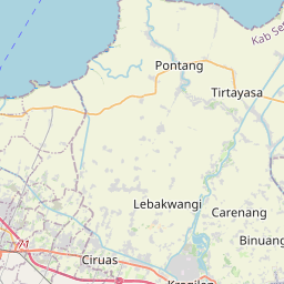
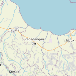
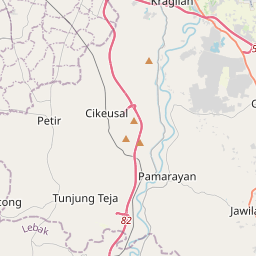
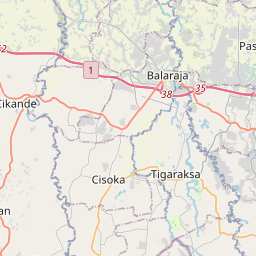
En el mapa
Último precio
—
Precio mínimo
—
Mediana 7 d
—
Ventas 30 d
0
Rango 30 d
—
En circulación
0
Cotización
mediana
mín – máx
ventas
Sin ventas en el periodo
Ver tabla
| Fecha | mediana | Mín | Máx | ventas |
|---|
Historial de ventas
- Última venta
- —
- Media 30 d
- —
- Mínimo 30 d
- —
- Máximo 30 d
- —
- Ventas 7 d
- 0
- Ventas 30 d
- 0
Aún no hay ventas.
Ventas anónimas: sin comprador ni vendedor. Las cifras solo cuentan ventas entre jugadores.
En Wikipedia
Texto en inglés Aún no hay artículo en tu idioma: extracto en inglés.
Sukamulya is a village and an administrative district (kecamatan) located in the Tangerang Regency of Banten Province on Java, Indonesia. Sukamulya District is composed of what were previously parts of Jayanti and Balaraja Districts before it was split off from the former northwestern and northeastern parts of those districts on 29 December 2006. The district covers a land area of 25.88 km2, and had a population of 59,027 at the 2010 Census and 69,275 at the 2020 Census; the official estimate as of mid-2024 was 92,636 (comprising 46,900 males and 45,736 females). The district administrative centre is in the village of Sukamulya, and the district is sub-divided into eight villages (desa), all sharing the postcode of 15612, and listed below with their areas and their officially-estimated populations as of mid-2024.
Texto: Wikipedia en inglés, CC BY-SA 4.0. ·
Cartas cercanas
Kosambi, Tangerang
District in Tangerang Regency, Banten Province, Indonesia
Nº Q3652282 ★★★★
Jayanti, Indonesia
District in Tangerang Regency, Banten Province, Indonesia
Nº Q3652219 ★★★★

Cisauk
District in Tangerang Regency, Banten Province, Indonesia
Nº Q3459126 ★★★★

Cisoka
District in Tangerang Regency, Banten Province, Indonesia
Nº Q3651721 ★★★★

Sepatan
District in Tangerang Regency, Banten Province, Indonesia
Nº Q965413 ★★★★
Sukatani, Bekasi
District in Bekasi Regency, West Java Province, Indonesia
Nº Q216198 ★★★