

Poco común · Lugares
Tayr Debba
Village in Lebanon
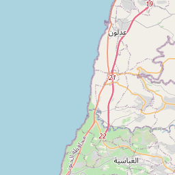
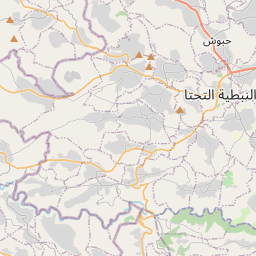
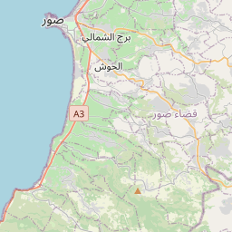
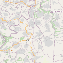
Tayr Debba (Levantine Arabic: طير دبّا, romanized: Ṭayr Debbā) is a municipality in the Tyre District in the South Governorate of Lebanon, located 7 kilometres east of Tyre and 88 kilometers south of Beirut. Its total land area consists of 578 hectares and its average elevation is 200 meters above sea level.
En el mapa
En Wikipedia
Texto en inglés Aún no hay artículo en tu idioma: extracto en inglés.
Tayr Debba (Levantine Arabic: طير دبّا, romanized: Ṭayr Debbā) is a municipality in the Tyre District in the South Governorate of Lebanon, located 7 kilometres east of Tyre and 88 kilometers south of Beirut. Its total land area consists of 578 hectares and its average elevation is 200 meters above sea level. There are two schools, one public and the other private, in Tayr Debba which collectively enrolled a total of 607 students in 2006. According to E. H. Palmer, Teir Dubbeh means "the fortress of the bear". In 1881, the PEF's Survey of Western Palestine (SWP) described it: "A village built of stone, containing 250 Metawileh, situated on a ridge surrounded by olives and fig-trees and arable land. There are three cisterns in the village." Tayr Debba is the hometown of the Hezbollah commander Imad Mughniyeh, who was assassinated in 2008. In 2014 Muslims made up 99.61% of registered voters in Tayr Debba. 99.57% of the voters were Shiite Muslims.
Texto: Wikipedia en inglés, CC BY-SA 4.0. ·