

Común · Lugares
Tyulyachinsky District
Human settlement in Russia
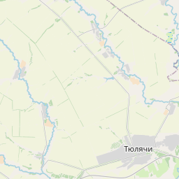
Tyulachinsky District (Russian: Тюлячинский райо́н; Tatar: Теләче районы) is a territorial administrative unit and municipal district of the Republic of Tatarstan within the Russian Federation. The total area of the district is 1160 km². The district is located in the north of Tatarstan.
En el mapa
En Wikipedia
Texto en inglés Aún no hay artículo en tu idioma: extracto en inglés.
Tyulachinsky District (Russian: Тюлячинский райо́н; Tatar: Теләче районы) is a territorial administrative unit and municipal district of the Republic of Tatarstan within the Russian Federation. The total area of the district is 1160 km². The district is located in the north of Tatarstan. The administrative center of the district is the village of Tyulyachi. As of 2020, 13,778 people reside in the district. The district economy is mainly oriented towards agriculture. The main areas of production are the cultivation of field crops and animal husbandry. There is the hunting reserve "Meshinsky" in the district that aims at nature conserving as a means of wildlife preservation. The total area of the reserve is 131.7 thousand hectares. The district is located in the northern part of the Republic of Tatarstan and is fully enclosed by other districts of the region, namely the Sabinsky District, Mamadyshsky District, Rybno-Slobodsky District, Pestrechinsky District, and Arsky District.
Texto: Wikipedia en inglés, CC BY-SA 4.0. · Imagen: ildaaro (CC BY-SA 3.0) ·