
Aanandaban
Commune du Népal
Tilottama Municipality is a municipality in Lumbini Province in western Nepal. Tilottama has a city population of 149,657 as per 2021 AD Nepal census.
Nº Q3420221 ★★
Peu commune · Lieux
Aanandaban
Commune du Népal
Tilottama Municipality is a municipality in Lumbini Province in western Nepal. Tilottama has a city population of 149,657 as per 2021 AD Nepal census.
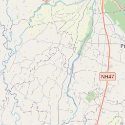
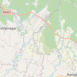
Sur la carte
Dernier prix
—
Prix plancher
—
Médiane 7 j
—
Ventes 30 j
0
Fourchette 30 j
—
En circulation
0
Cours
médiane
min – max
ventes
Aucune vente sur la période
Voir le tableau
| Date | médiane | Min | Max | ventes |
|---|
Historique des ventes
- Dernière vente
- —
- Moyenne 30 j
- —
- Plus bas 30 j
- —
- Plus haut 30 j
- —
- Ventes 7 j
- 0
- Ventes 30 j
- 0
Aucune vente pour l'instant.
Ventes anonymes : ni acheteur ni vendeur. Les chiffres ne comptent que les ventes entre joueurs.
Sur Wikipédia
Texte en anglais Pas encore d'article dans ta langue : extrait en anglais.
Tilottama Municipality is a municipality in Lumbini Province in western Nepal. Tilottama has a city population of 149,657 as per 2021 AD Nepal census. It is one of the tri-cities of the rapidly growing Butwal-Tilottama-Bhairahawa urban agglomeration primarily based on the Siddhartha Highway in West Nepal with a total urban agglomerated population of 421,018. It was formed on May 8, 2014; when the Government of Nepal announced additional an 72 municipalities, including previously proposed 37 municipalities in line with the Local Self-governance Act, 1999. On July 25, 2014; demarcation of the municipality was done along with the assignment of new wards. The original demarcation included six existing VDCs viz. Shankarnagar VDC, Aanandaban VDC, Karahiya VDC, Makrahar VDC, Tikuligadh VDC & Madhabaliya VDC. Gangoliya VDC was later merged into the municipality on 17 September 2015. At the time of the 1991 Nepal census, it had a population of 6894 people living in 1193 individual households. As of the 2021 Nepal census, the total city population was 149,657.
Texte : Wikipédia en anglais, CC BY-SA 4.0. · Image : Mithunkunwar9 (CC BY-SA 4.0) ·
Cartes voisines

Butwal
Ville du Népal
Nº Q11283 ★

Timure (Rasuwa)
Nº Q3412409 ★★★

Lumbini (province)
Province du Népal
Nº Q25104014 ★★

Bhâratpur (Népal)
Ville du Népal
Nº Q250220 ★★

Sudurpashchim (province)
Province du Népal
Nº Q25104019 ★★

Lumbini
Village du Népal, considéré comme le lieu de naissance traditionnel de Siddhartha Gautama, devenu par la suite "le Bouddha"
Nº Q9213 ★★★