

Rare · Lieux
Aldeia do Mato
Freguesia du Portugal
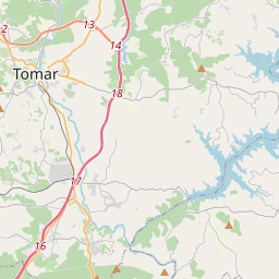
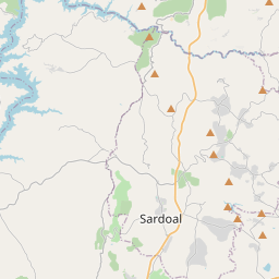
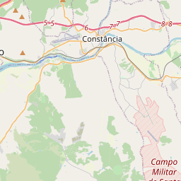
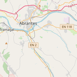
Aldeia do Mato is a former freguesia ("civil parish"), located in the municipality of Abrantes, in Santarém District, Portugal. In 2013, the parish merged into the new parish Aldeia do Mato e Souto. The population in 2011 was 441, in an area of 31.68 km².
Sur la carte
Sur Wikipédia
Texte en anglais Pas encore d'article dans ta langue : extrait en anglais.
Aldeia do Mato is a former freguesia ("civil parish"), located in the municipality of Abrantes, in Santarém District, Portugal. In 2013, the parish merged into the new parish Aldeia do Mato e Souto. The population in 2011 was 441, in an area of 31.68 km². The parish had its beginning in the 13th century, when the area was then referred to as Aldeia da Mata, and recognized for the quantity of wood gathered in the district (aldeia da mata is Portuguese for hamlet of the hinterland). It was also recognized for the land rents obtained from cultivation and harvesting of olive and pine trees. The parochial church, dedicated to Santa Maria Madalena had its origin in the 18th century. A marble cross was located near the two fountains of São João and São José, and later restored in 1850. The construction of the Barregem do Castelo do Bode (Castelo do Bode Dam) in 1951, caused the disappearance of the fields of olive trees which were lost to make way for the new reservoir. The parish is located in the northeastern part of the municipality, neighboring the parishes of Souto (to the northeast and east), Martinchel (to the west), São Vicente (in the east) and Rio de Moinhos (along the west) and with the municipalities of Tomar (to the north) and Constância (to the east). It contains the localities Aldeia do Mato, Bairros Cimeiro, Cabeça Gorda, Carreira do Mato, Casinha, Fundeiro, Medroa, Pucariça, Vale de Chões and Vale Manso.
Texte : Wikipédia en anglais, CC BY-SA 4.0. · Image : Wikimedia Commons (CC BY-SA 2.0) ·