

Commune · Lieux
Amasia District
Raion of the Soviet Union
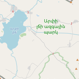
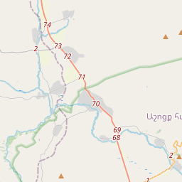
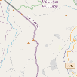
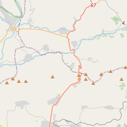
The Amasia District (Armenian: Ամասիայի շրջան) was a raion (district) of the Armenian Soviet Socialist Republic from 1930 and later in 1991 of the Republic of Armenia until its disestablishment in 1995. The Amasia District today constitutes a northwestern part of the Shirak Province (marz) and bordered the Kars Province of the Republic of Turkey to the west and the Javakheti region of Georgia to the north.
Sur la carte
Sur Wikipédia
Texte en anglais Pas encore d'article dans ta langue : extrait en anglais.
The Amasia District (Armenian: Ամասիայի շրջան) was a raion (district) of the Armenian Soviet Socialist Republic from 1930 and later in 1991 of the Republic of Armenia until its disestablishment in 1995. The Amasia District today constitutes a northwestern part of the Shirak Province (marz) and bordered the Kars Province of the Republic of Turkey to the west and the Javakheti region of Georgia to the north. Its administrative center was the town of Amasia. Geographically, Amasia is located in a high-altitude area, bordering Turkey to the west and Georgia to the north. The broader Shirak Province, which Amasia is now part of, is characterized by the Ashotsk Plateau and Shirak Plain, surrounded by various mountain ranges.
Texte : Wikipédia en anglais, CC BY-SA 4.0. · Image : Beko (CC BY-SA 4.0) ·