
Anggana
District indonésien
Anggana (Indonesian pronunciation: [aŋˈɡana]) is the easternmost district of Kutai Kartanegara Regency, East Kalimantan, Indonesia. As of 2023, it was inhabited by 38,674 people, and currently has the total area of 1,798.80 km2. Its district seat is located at the village of Sungai Meriam.
Nº Q4201401 ★★★
Rare · Lieux
Anggana
District indonésien
Anggana (Indonesian pronunciation: [aŋˈɡana]) is the easternmost district of Kutai Kartanegara Regency, East Kalimantan, Indonesia. As of 2023, it was inhabited by 38,674 people, and currently has the total area of 1,798.80 km2. Its district seat is located at the village of Sungai Meriam.
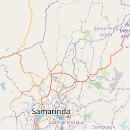
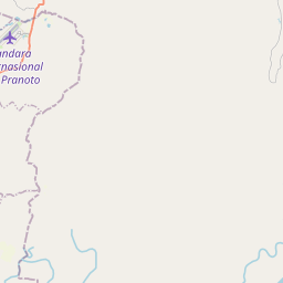
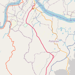
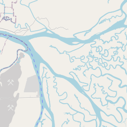
Sur la carte
Dernier prix
—
Prix plancher
—
Médiane 7 j
—
Ventes 30 j
0
Fourchette 30 j
—
En circulation
0
Cours
médiane
min – max
ventes
Aucune vente sur la période
Voir le tableau
| Date | médiane | Min | Max | ventes |
|---|
Historique des ventes
- Dernière vente
- —
- Moyenne 30 j
- —
- Plus bas 30 j
- —
- Plus haut 30 j
- —
- Ventes 7 j
- 0
- Ventes 30 j
- 0
Aucune vente pour l'instant.
Ventes anonymes : ni acheteur ni vendeur. Les chiffres ne comptent que les ventes entre joueurs.
Sur Wikipédia
Texte en anglais Pas encore d'article dans ta langue : extrait en anglais.
Anggana (Indonesian pronunciation: [aŋˈɡana]) is the easternmost district of Kutai Kartanegara Regency, East Kalimantan, Indonesia. As of 2023, it was inhabited by 38,674 people, and currently has the total area of 1,798.80 km2. Its district seat is located at the village of Sungai Meriam. Anggana borders the districts of Sambutan (of which formerly part of it until 21 October 1987) and North Samarinda, Samarinda to the west. It also borders Muara Badak to the north, and to the south, Palaran and Sanga-Sanga, despite narrowly separated by the Mahakam. It is the site of Kutai Lama, which is notable for being the capital of the Sultanate of Kutai from 14th century to 18th century.
Texte : Wikipédia en anglais, CC BY-SA 4.0. · Image : Ezagren (bicara / talk) (Attribution) ·


